Polarcus Survey Played Key Role in Locating the Roc-2 Well


-
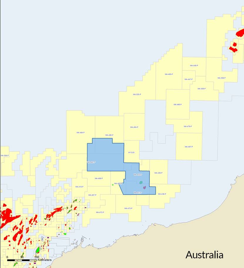
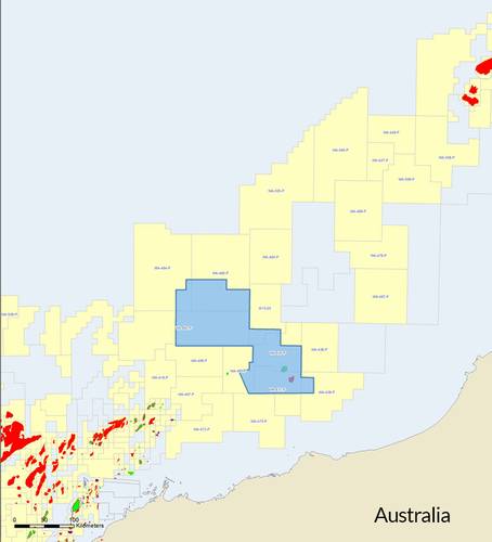 Capreolus Project Map (Image: Polarcus)
-
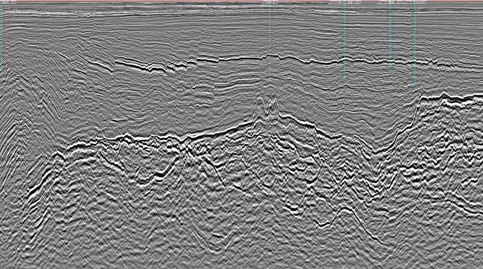
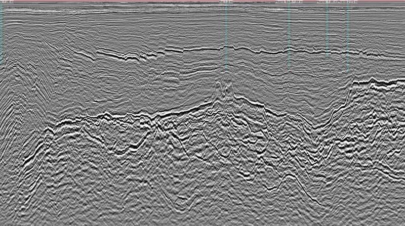 Pre-SDM data sample (Image: Polarcus)
-
 Incoherency timeslice (Image: Polarcus)
Carnarvon Petroleum Limited announced October 19 that the Roc-2 well test successfully flowed gas and condensate to surface over the course of a sustained test program.
The well was located using Polarcus' Capreolus 3D multi-client data within Quadrant Energy operated WA-437-P exploration permit, in Australia's North West Shelf. The Drill Stem Test flowed gas at rates up to 51.2 million scf per day and 2,943 barrels of condensate per day. Equivalent to 11,476 barrels of oil per day. The Roc-2 DST has clearly shown that the Triassic, Caley formation is capable of gas and condensate production at commercial flow rates.
Rob Kneale of Quadrant Energy commented, "The Capreolus data set played a key role in choosing the Roc-2 well location."