Marine Mapping Agreement for Northern Ireland
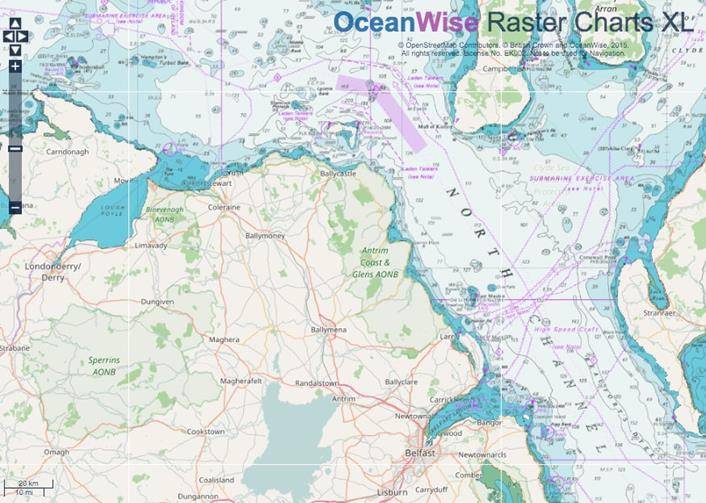
Photo: OceanWise
OceanWise announced that it has been awarded a contract to provide the Government of Northern Ireland with marine mapping.
The award reinforces OceanWise as the primary supplier of marine mapping to both the public and private sectors in the U.K. The agreement includes Marine Themes, Marine Themes DEM and Raster Charts XL (eXcluding Land) provided in the form of datasets and as OGC compliant web services. The data will be used to support desktop GIS and as input to web based applications.
The agreement means that OceanWise is able to push ahead with further product enhancements, such as greater land-sea integration in collaboration with the U.K.’s land mapping agencies, OSGB and OSNI, and provide more of its data products as web services.