
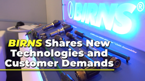
BIRNS Shares New Technologies and Customer Demands
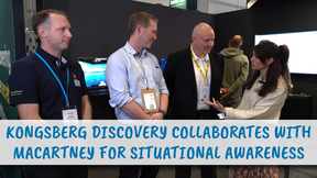
Kongsberg Discovery Collaborates with MacArtney for Situational Awareness

The annual Oceanographic issue explores deep sea oxygen research, sonar technology, carbon sequestration, and subsea defense trends.
Read the Magazine
This issue sponsored by:

Greenland’s Seaweed Stores Carbon in the Deep Ocean

Marine Technology Reporter is the world's largest audited subsea industry publication serving the offshore energy, subsea defense and scientific communities.
Subscribe
Marine Technology ENews is the subsea industry's largest circulation and most authoritative ENews Service, delivered to your Email three times per week
Subscribe for MTR E-news