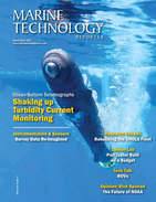
Lending Oceans a Robotic Hand
technology being used in the quest to understand what’s down there and how it can be both used and protected.The latest Marine Technology Reporter’s Deep Dive podcast, released this week, takes up the challenge. Rhonda Moniz speaks to oceanographer Dr. Dawn Wright, Chief Scientist at Environmental Systems Research Institute (ESRI), about the role that mapping plays in maintaining a balance between human activities and protected areas.Growing up in Hawaii, she was drawn into the marine research work by her close association with the ocean as well as by her childhood fascination with Jacques
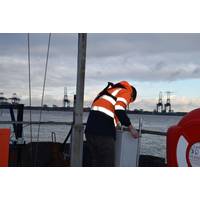
OceanWise, Valeport Supply Monitoring System for HHA
new environmental system provides HHA with continuous real time tide and meteorological data instantly to assist in all operational aspects of the port aiding survey, dredging and vessel movement.Although Port-Log.net is instrument independent, OceanWise and Valeport have collaborated on numerous environmental systems and supplied similar solutions to many ports and harbors since 2012
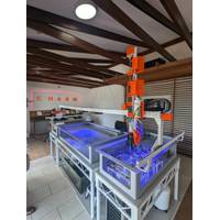
Pentair Opens Aquaculture Center of Excellence
healthy food to developing countries, arid climates and space-challenged urban centers." The new center is "designed to allow development of innovative technology as well as showcase solutions for different environments around the world," said Bob Miller, Pentair Vice President Environmental Systems. "These systems can be put just about anywhere, as demonstrated by our work in the Middle East, and our partnership with Urban Organics in a former brewery in downtown St. Paul, Minn." The Urban Organics farm currently produces fish and certified organic vegetables and herbs
Navy Oceanography Signs Ersi Agreement
Rear Adm. Tim Gallaudet, commander of the Naval Meteorology and Oceanography Command (NAVMETOCCOM), signed a Cooperative Research and Development Agreement (CRADA) Sept. 3 with Environmental Systems Research Institute Inc. (Esri), the geographic information systems company. "This CRADA will be a key enabler for our mission and top priority -- providing unmatched battlespace awareness and environmental information to the warfighters that yield better decisions made faster than the adversary," Gallaudet said. The Esri software and system allows detailed geospatial data to be analyzed


 February 2025


