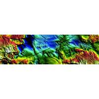
Kongsberg Launches Bathymetric Image Contest
The KONGSBERG 2017 Bathymetric Image Contest is now open for entries. All users of Kongsberg Maritime’s bathymetric systems, including the EM family of single and multibeam echo sounders, the M3 sonar and GeoSwath solutions are invited to submit their best images captured on these, and other current KONGSBERG systems. The provider of the winning image will receive a GoPro camera while the providers of the second and third place images will receive a set of Bose speakers. Additionally, the 12 best contributions will be included in the official KONGSBERG 2018 Underwater Mapping

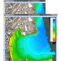
Seafloor Mapping Aids Safety & Efficiency
technology is the focus of the collaborative research. “This project is focusing specifically on backscatter which is a signal that comes back from a multi-beam system looking at the reflectivity of the signal from the sea floor. Traditionally, multi-beam systems kind of came about for bathymetric systems,” he said. He explained that multi-beam systems occurred in the very late 70s and early 80s and in 90s became more mainstream. “Pioneering work was done through a few key research institutes. Bedford Institute of Oceanography (BIO in Halifax) being one of them. The Canadian
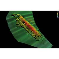
D-Day Mapping Mission
Corporation, Trimble’s leading U.S. Marine dealer, was chosen for this project because of its experience in the field of marine guidance, mapping, imaging and equipment holdings. Lou Nash, Measutronic’s founder, explains that the GNSS heading bundle is critical to the bathymetric systems because, “without accurate positioning, you essentially don’t have a reference point or know where you are in relation to anything else; as a result you can’t accurately and efficiently trace back to targets in the water. In addition, the ‘motion of the ocean&rsquo
STR Adds Gemini NBI Sonars to Rental Pool
the sale of four Gemini NBI systems to Subsea Technology and Rentals (STR), Great Yarmouth, a recently rebranded provider of high-technology subsea equipment. STR already offers a comprehensive suite of Tritech industry-standard sensors and sonars for rental including sonars, profilers and bathymetric systems. This latest purchase will enhance their pool of subsea equipment, to support excavating and dredging companies’ requests for high-specification multibeam sonars. The Gemini NBI offers a narrow vertical beam at 130° swath for applications where precision in target detection
CTI SonarWiz Supports Multi-Beam and Interferometric Bathymetry Systems
and GIS based processing software for seafloor mapping, announced an advance to its flagship software SonarWiz with the addition of post-processing for multi-beam echo sounder and interferometric bathymetry systems. SonarWiz now offers data processing for both multi-beam and interferometric bathymetric systems with present support for processing bathymetry file types of ALL, HSX, JSF, R2S, RDF, S7K, SXI, and XTF. SonarWiz is the software that streamlined the processing of sidescan sonar, sub-bottom profiler and magnetometer data and now with the new bathymetric processing capability, brings together
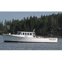
Launching the Jamie Hanna
hydraulic winches and A-frames, over-the-side transducer booms, and benches and tables for survey electronics. At several of the early Ocean Technology Expos in Woods Hole, MA, and Newport and Warwick, RI, CR chartered the Hull vessels to demonstrate navigation, geophysical, and multibeam bathymetric systems to the oceanographic community. Clients were pleased with the vessel’s unexpected stability, utility, and capabilities relative to their objectives. In 2005 and 2006, CR enlisted Josh Goodwin and his 42-foot WESMAC in several long term offshore monitoring programs including monitoring


