NOAA, Partners to Explore and Map Waters Around American Samoa
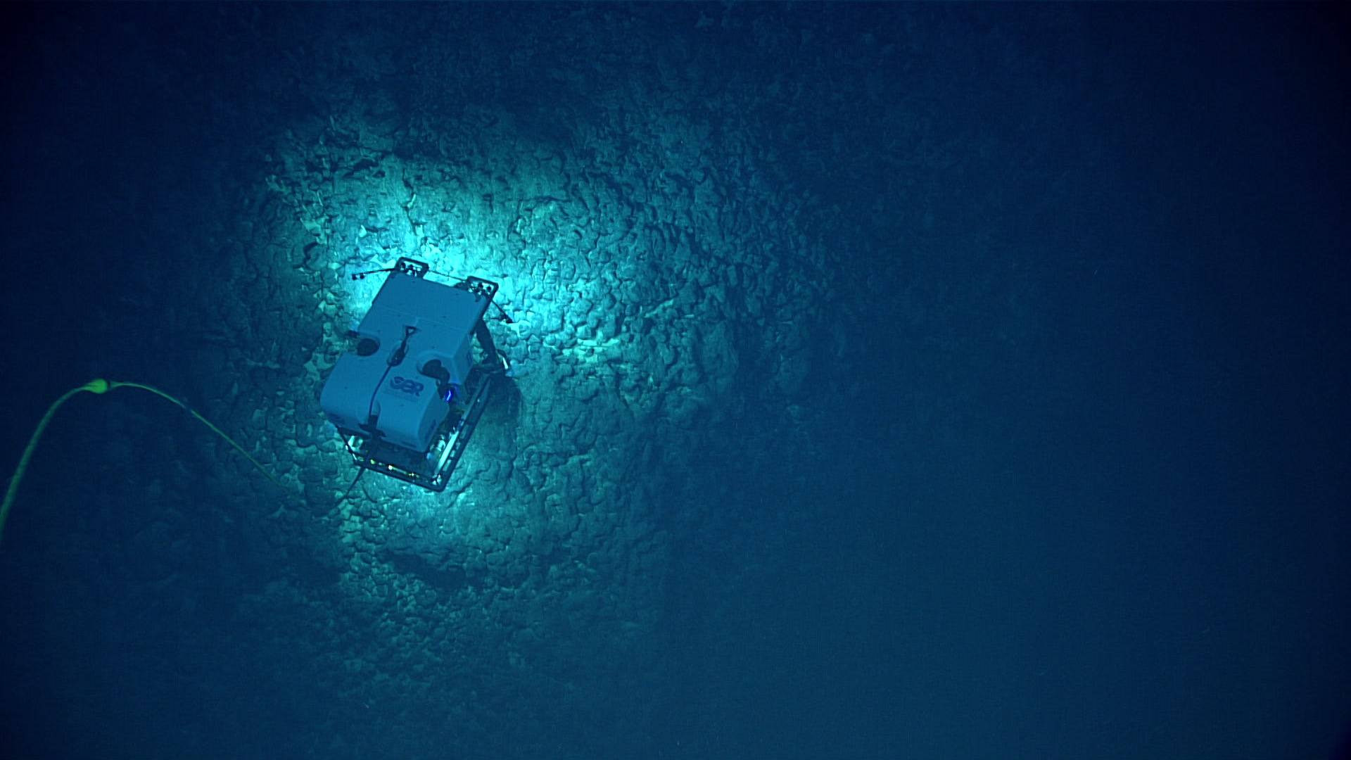
The remotely operated vehicle, Deep Discoverer, imaging the seafloor off American Samoa during an expedition in 2017. (Image credit: NOAA OER)
NOAA Ocean Exploration and its partners will conduct two expeditions in waters around American Samoa this summer and fall to map and characterize the deep seafloor in the nation’s highest-priority region for offshore critical mineral exploration. The expeditions will generate publicly available data and information to increase understanding of mineral potential, guide future exploration, and support federal and local decision-making.
These expeditions will take place aboard NOAA Ship Okeanos Explorer. The first will take place August through September 2026 using a remotely operated vehicle (ROV). The second expedition will run from late September through October 2026. Throughout both expeditions, the team will deploy advanced mapping technology and observational sensors.
Real-time ROV operations will be streamed online daily, providing the public and shore-based scientists a unique window into the deep-sea environment. This data-driven approach is designed to provide authoritative science for decision-makers at federal and local levels. All data gathered will be made publicly available to support critical mineral assessments, future exploration decisions, and broader marine-resource planning.




 August 2026