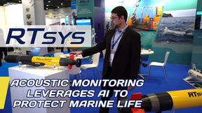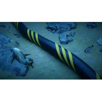
What We Need to Know About Telecommunications Cable Protection
response to the most recent suspicious severing of telecommunications cables in the Baltic, NATO's Center for Maritime Research and Experimentation in Italy launched software that will combine private and military data along with input from hydrophones, radars, satellites, vessels' Automatic Identification Systems and the distributed acoustic sensing fibers that are used to localize cuts in cables.All this technology is aimed at determining the cause of damage after the fact.Globally, around 150 cables are damaged each year, most by accidental human interventions such as dragged anchors, but some
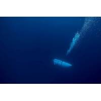
As the Clock Ticks on the Titan Sub, an Expert Explains What Safety Features a Submersible Should Have
ensured instant two-way communication and a higher data exchange rate. But these cables can get entangled with potential hazards at a shipwreck site.As such, tethers are mostly used for unmanned vehicles; manned submersibles prefer to trust the pilot. Also, GPS, portable satellite phones and automatic identification systems can’t be used underwater. These tools use electromagnetic waves that don’t propagate deep underwater (although they could be used on the surface).Some submarines are equipped with a distress beacon, the equivalent of an emergency position indicating radio beacon (EPIRB).
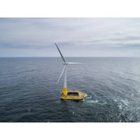
Floating Offshore Wind: New Seascape, New Challenges
.” Wise said the NSRA tells the Coast Guard what objects will be placed in the waterway. He added that various states may also require additional permits or approvals, particularly within a state’s three-mile offshore ocean boundary.Traffic analysis is done using AIS – automatic identification systems – data. AIS tells what kind of ships are in a proposed WEA and the vessels’ locations.The NSRA outlines the steps needed to avoid and minimize navigation conflicts. This is critical not just for safety but, Wise added, because it impacts the layout of the project within the
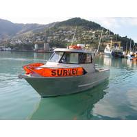
Trimble Marine Construction Software for Positioning
the dredge vessel. Supporting a wide range of sensors, it can also be used for simple navigation tasks like tug, workboat or barge positioning at the dredge/construction site. Trimble Marine Construction Software for Positioning supports subscription electronic charts, open-source charts and Automatic Identification Systems (AIS) for improved safety and navigation in congested waterways, use it to accurately and efficiently place Aid to Navigation (ATON) buoys and anchors.(Image: Trimble
MOL Tests FOCUS EYE Project
with high accuracy using a terminal equipped with a graphic processing unit (GPU) and ultrahigh-resolution cameras.The image recognition technology, which can be used even at night or during other periods of poor visibility, can detect small vessels that are not recognizable by vessel automatic identification systems (AIS).MOL views advanced image recognition as an underlying technology needed for automated watch-keeping, as the company works to realize the autonomous smart ships of the future.Since this system automatically records image data, MOL plans to carefully review the accumulated data and
MTR100: PERSEUS
Maritime Surveillance The Center provided innovative concepts in the field of unmanned passive monitoring as part of the PERSEUS FP7 European project. Conventional surveillance technologies cannot easily help to detect fast boats, which generally have small radar signatures and do not carry automatic identification systems (AIS). For this reason, the NATO STO CMRE (Centre for Maritime Research and Experimentation) has addressed this problem along with other project partners, as part of the European project PERSEUS. The PERSEUS project (Protection of European BoRders and Seas through the IntElligent Use
Maritime Surveillance: Autonomous and Real-time
surveillance; center provides innovative concepts in the field of unmanned passive monitoring as part of the PERSEUS FP7 European project. Conventional surveillance technologies cannot easily help to detect fast boats, which generally have small radar signatures and do not carry automatic identification systems (AIS). For this reason, the NATO STO CMRE (Center for Maritime Research and Experimentation) has addressed this problem along with other project partners, as part of the European project PERSEUS. The PERSEUS project (Protection of European BoRders and Seas through the
Forensics of the Sea
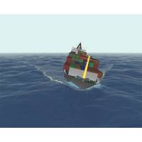
indeed correct and accurate. Determining the actual ship behavior at the time of the collision or incident through innovative simulation techniques can provide the courts with a real appreciation of the conditions the ship experienced. By using the vessel’s recordings, AIS data (Automatic Identification Systems) and environmental data (wind, current, sea state etc.), this information can be directly plugged into a model which simulates how the vessel was behaving, leading up to the time of the accident or incident. This can provide the court or arbitration panel with a much clearer and