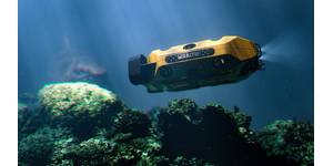
Canada's New Observatory Uses 'Seafloor GPS'
;Proven and low-risk, our Fetch instruments are a key tool for the international science community where they are changing the game for seabed tectonic studies. This deployment at the NCSZO, which will be one of the largest studies we have been involved with, further cements its track record.”Kim Swords, Senior Applications Engineer for Sonardyne in Houston, says, “The data gathered is critical for understanding which areas of the plate interface in the Cascadia Subduction Zone are locked and whether or not part of the energy is being released by slow creep on the fault. Deeper locking that
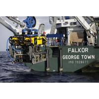
Schmidt Selects Sonardyne Navigation for SuBastian
the navigation suite for SuBastian is WMT, a high-power USBL transponder built upon Sonardyne’s latest 6G (sixth generation) wideband acoustic architecture that provides robust, high update rate positioning in any water depth, shallow or deep. Commenting on this major contract, Kim Swords, Senior Application Engineer with Sonardyne in Houston said, “SuBastian is the first vehicle in the world to be equipped with a full spread of our Ranger 2 USBL, SPRINT INS and Syrinx DVL technologies. We’ve worked closely with SOI to configure the optimum subsea navigation solution

Sonardyne's Ranger 2 Comes Up Big
reflecting off the vessel’s twin hulls and noise from ROV thrusters, could interfere with transponders signals coming from great depths. “Challenging conditions like these are exactly why we developed 6G – our sixth generation acoustic positioning platform,” said Kim Swords, Senior Applications Engineer with Sonardyne. “6G systems like Ranger 2 use Wideband 2 digital signal architecture to provide robust navigation, greater precision and fast position updates in all scenarios, deep or shallow and on all types of vessel. We were confident that by upgrading the
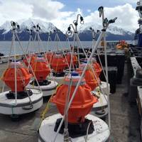
Sonardyne, Liquid Robotics and NOAA Collaborate on Ocean Observation Project
platform designed to support a wide variety of sensor payloads. Capable of travelling long distances and monitoring vast areas without refueling, Wave Gliders can transmit data via radio satellite without ever requiring a ship to leave port, thereby dramatically reducing risk and survey costs. Kim Swords, Sales and Application Engineer at Sonardyne commented, “This type of collaboration represents a highly economical and expedient method of evaluating new ocean research technologies. The data we have been able to collect will help us better understand and predict what is happening in our