Teledyne Marine's 2025 Photo and Data Contest Is Now Open
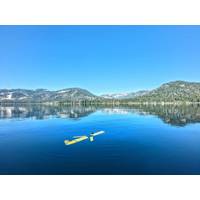
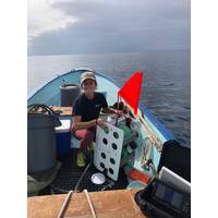
you or your team in picturesque settings utilising Teledyne Marine equipment.Underwater Award: Recognizing the best underwater images featuring Teledyne Marine products or captured using Bowtech cameras.Winners of the four jury-selected categories will receive a KODAK PIXPRO WPZ2 Rugged Waterproof Digital Camera.How to Enter:Upload your best photos or data samples to the contest page before September 30, 2025.Promote your submission by sharing it on social media—tagging @TeledyneMarine on Facebook and using #TeledyneMarine on LinkedIn—to encourage votes.You’ll need to rally at least
Teledyne Marine Announces 2024 Photo & Data Contest
The winner will be chosen from the top 10 images receiving the most votes.Category Awards:o Categories: Best Data Award, Aversity Award, Moment of Zen Award, and Underwater Award.o Prize Options: Winners can choose between a DJI OSMO Gimbal Smartphone Stabilizer, a KODAK PIXPRO WPZ2 Rugged Waterproof Digital Camera, or a Garmin Instinct 2X Solar - Tactical Edition Rugged GPS Smartwatch.o Selection: A jury will select winners from all images with more than ten votes.How to Participate:Submit your photos and data samples showcasing Teledyne Marine products in use. Read more here.Gather votes for your submission
Lander Lab #2: Small Autonomous Landers for Studying the Community Ecology of Nearshore Submarine Canyons
ecology, we adapted two autonomous lander systems: a Global Ocean Design® LLC 2-sphere Picolander® for exploratory deployments (< 3 days) and a Global Ocean Design LLC 3-sphere Nanolander® for longer deployments (> 1 week). Both landers were outfitted with a novel self-recording digital camera and LED lights system plus a Zebra-Tech® environmental sensor to collect paired physical and biological time series. Eleven lander deployments were completed ranging in length from 1-13 days at depths of 90-500 m, allowing assessment of how seafloor community diversity and composition changed
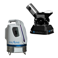
GOT: Comes to Life Using Teledyne Lidar
and cost for 3D modelling and helps create more realistic visual effects.Vektra generated 3D point clouds in Dubrovnik using various lidar technologies including Teledyne Optech’s Maverick mobile lidar system and Polaris fixed terrestrial scanner. The lidar point clouds were then colorized with digital camera imagery and image fusion software
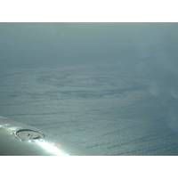
Innovative New System Delivers Surface Current Data
a step change in technology for mapping surface current conditions over a wide area of ocean for current sensitive offshore operations. Optimizing recent advances in remote sensing and aerial survey, Fugro and Areté Associates developed a system that uses a combination of digital camera technology and highly accurate positioning systems, together with advanced algorithms, to derive surface currents from wave spectra measurements. It can be installed on a suitable survey aircraft, together with an inertial navigation system augmented by Fugro’s Starfix satellite positioning
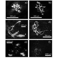
I can see clearly now ... Via Resolution Optics
without a lens. “Instead, light from a blue-violet laser is focused on a tiny pinhole (500nm) and a spherical cone of light is transmitted through the sample. Part of the light wave is scattered by objects present within the volume and both unscattered and scattered waves reach a digital camera sensor, producing an interference pattern. This interference pattern image is known as a hologram and is recorded by the camera sensor. That is the easy part,” he said. “The second step of the process is to reconstruct the hologram to generate an image. Extremely sophisticated software
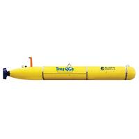
Tesla Offshore Orders Bluefin-21 AUV
to operate from various ships of opportunity worldwide. The AUV’s sensor suite has been chosen to exceed the data quality and resolution requirements of today’s deepwater survey markets. These include a broadband multibeam echosounder, a chirp sub-bottom profiler, and a high definition digital camera. In addition, Tesla Offshore the system will feature a fully-integrated synthetic aperture sonar (SAS) produced by Raytheon Applied Signal Technology. The PROSAS Surveyor is expected to provide a decimetric imaging resolution across swath ranges up to 450 meters per side, which in turn can lead