Datawell Wave Buoy Supports NASA Beach Stability Study


-
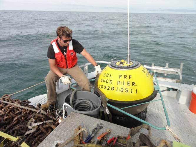
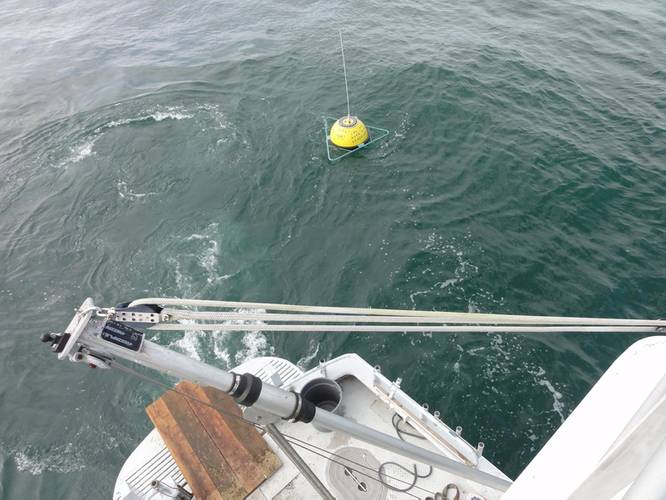 USACE Field Research Facility in Duck, N.C. (Photo: Pat Dickhudt)
-
 USACE Field Research Facility in Duck, N.C. (Photo: Pat Dickhudt)

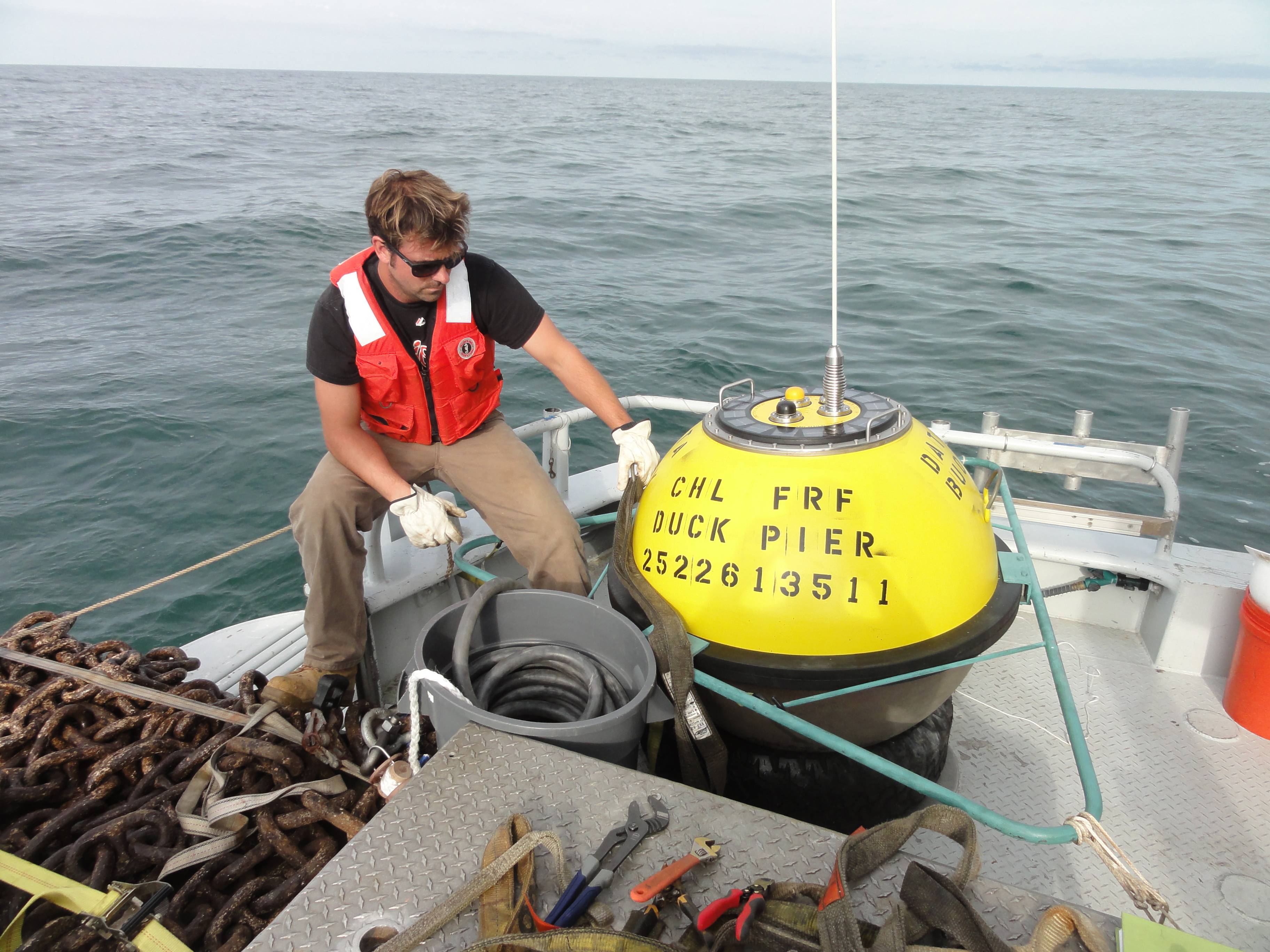
A new Datawell Directional Waverider (Mk III) wave buoy has been deployed nine miles offshore of Wallops Island, Va. The buoy was funded by NASA’s Goddard Space Flight Center for stability studies of an engineered beach. The beach was built by the U.S. Army Corps of Engineers Norfolk District in 2012 to protect NASA's Wallops Island Launch facilities. It was partially renourished in 2014 to restore its protective capabilities following extra-tropical storm Sandy.
The Waverider incorporates some of Datawell’s novel engineering in its standard buoy. Solar panels power the buoy by day and charge super-capacitors for power at night. During extended cloudy periods, an intelligent regulator draws sequentially from three high-capacity battery banks. For this deployment the solar panels reduce battery usage and provide an extended deployment life. At some locations the solar panels suffice and the batteries are not used at all. The buoy hull is composed of Cunifer-10, a copper/nickel/iron alloy that is a natural biocide and requires no anti-foulant coating. Full spectral data are transmitted via Iridium satellite telemetry every half hour. The buoy is purpose-built for wave observations and makes no concessions for additional sensors (such as a met tower), so the wave observations are of the highest quality and well suited for this research.
The buoy was procured by Geodynamics (Newport, N.C.). It was deployed and is maintained by the U.S. Army Corps of Engineers Field Research Facility (Duck, N.C.). Data management is provided by the Scripps Coastal Data Information Program (La Jolla, Calif.).
Real-time data are available from several sources including frf.usace.army.mil, cdip.ucsd.edu, or ndbc.noaa.gov.