Enhancements to Northeast Ocean Data's Interactive Maps
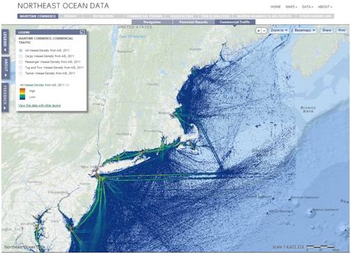
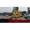
Photo: Northeast Ocean Data
The Northeast Ocean Data Working Group, comprised of several working group members: RPS ASA, NROC, SeaPlan, The Nature Conservancy, NOAA Coastal Services Center, Waterview Consulting and NERACOOS, announced an upgrade of the interactive maps and a redesigned home page at northeastoceandata.org.
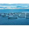
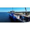
The maps focus on six themes: maritime commerce, recreation, aquaculture, fish and shellfish, marine mammals and sea turtles and other marine life.
The enhanced maps make it even simpler to see data on the ocean environment and human uses of the ocean in the northeastern United States, the group said. In this release, the maps are bigger, information boxes have been added, the navigational menu and map tools are enhanced, and custom map views can be shared easily through Facebook, Twitter and other social media. Website users can also move seamlessly from the simpler thematic maps to the more comprehensive Data Explorer, where the entire data catalog is available along with access to a range of external data sources. This release from Northeast Ocean Data also features upgraded cartography, updated datasets and faster technical performance.
northeastoceandata.org