HYPACK Used at Texas A&M Nautical Archaeology Program


-
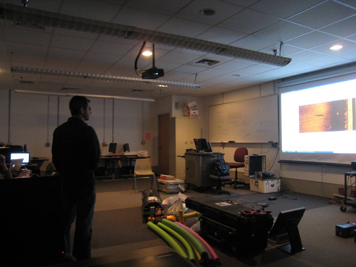
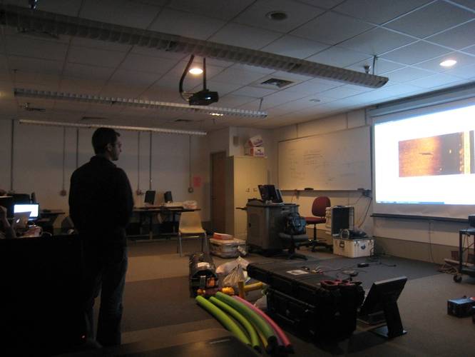 Jose Luis Casaban examines a side-scan sonar image during an exercise to become more familiar with how side-scan data imaged different objects underwater. (Photo courtesy of HYPACK)
-
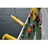
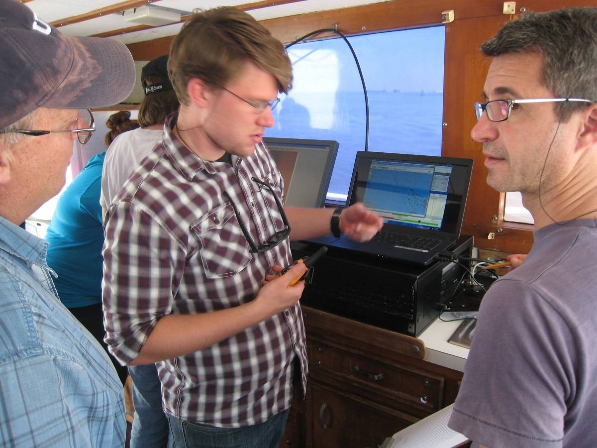
 Karl Krussel and Jose Luis Casaban discuss the use of Hypack in the field with J.B. Pelletier aboard TAMUG's R/V Earl Milan. (Photo courtesy of HYPACK)
As part of HYPACK’s academic initiative to promote and encourage training and education, HYPACK, Inc. was involved in the Remote Sensing Survey Workshop 2014 which is part of Nautical Archaeology Program at Texas A&M University. Several graduate students from the Nautical Archaeology Program, and undergraduate students from Texas A&M Galveston attended the seminar and were able to gain experience in HYPACK for their study.
After learning vessel safety and boat operations the undergraduates were able to focus on learning HYPACK. Each student was able to successfully learn how to configure HYPACK with a single frequency side-scan sonar, a magnetometer, and a Trimble GPS system. They were also able to easily learn how to plan and run the survey.
After the equipment was connected and everything was running properly, the students began collecting data on an unidentified wreck off of Pelican Island. They collected this data with both the side-scan sonar, and Magnetometer. Once it was all collected, the students were able to interpret and organize the data and results that were collected.
Since HYPACK, Inc. provided the use of 20 software licenses for the course which allowed all the students to practice what they learned and better their workshop study.
The HYPACK Academic Program permits academic institutions, faculty, staff and students to have access to the latest hydrographic survey software tools used within the industry. By learning and gaining practical experience with the latest HYPACK software, the students will be better prepared to enter the workforce and be more valuable to their employers.
hypack.com