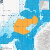
Advancing Hydrography in the Great Lakes
Credit: NV5
In this live webinar, you’ll discover how our latest hydrographic survey innovations, developed and refined across multiple years of Great Lakes operations, can support your infrastructure, energy, and environmental initiatives.
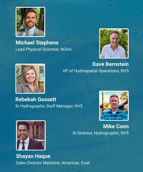
Hydrospatial experts from NV5, NOAA, and Exail will be presenting.
We’ll highlight:
- Survey efficiencies that cut timelines without compromising quality
- Integration of hydrographic, terrestrial, and topobathymetric lidar data
- Real-world applications that power better planning and decision-making
Wednesday, August 27 at 1:00 PM CT / 2 PM ET.
Register here.