Largest Historical D-Day Mapping Expedition Completed


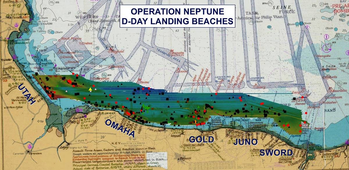
June 6, 2014 represents the 70th anniversary of the WWII D-Day invasion, and to commemorate this historic event an expedition took on the monumental task of creating the largest and most accurate continuous archeological map offshore of the five D-Day invasion beaches.
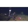
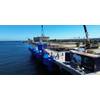
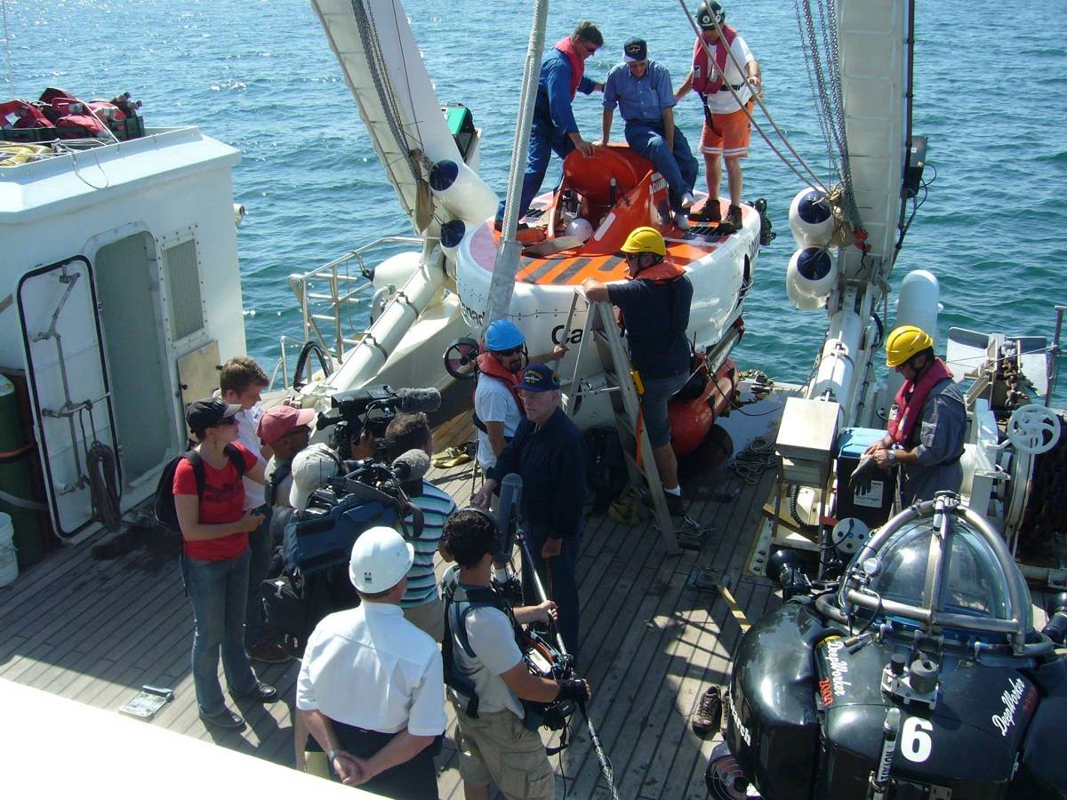
In just 27 days 511km2 was initially surveyed using the Edgetech 4600540khz combined bathymetric and Sidescan Sonar with over 300 wrecks and obstructions identified. An R2Sonic 2024 700kHz Ultra High Resolution (UHR) Multibeam Sonar was then used to highlight over 50 sites. During the survey a SeaBotix vLBV300 ROV and the new Deep Sea Power and Light DVS300 camera system were used to investigate and identify targets. The R2Sonic, a second SeaBotix LBV300 ROV, Tritech gear, and precise positioning equipment was supplied by Measutronics that consisted of Trimble, Applanix, Marinestar, and CODA equipment. Data collection was done and post processing continues using HYPACK’sHYSWEEP software. The seven week operation culminated with two Nuytco manned submersibles, Aquarius and a Deep Worker, that were used to film and bring veterans down to the shipwrecks they once sailed on, a truly moving experience for everyone involved. It must be noted as well that all of the survey and ROV equipment was donated and the survey team volunteered their time for the expedition.
Work continues with the enormous 11TB data set. Collaboration with the United Kingdom Hydrographic Office (UKHO) and the French nautical charting authority (SHOM) continues in an effort to update the international wreck database for the area. The survey will also help the Normandy region with the goal of designating the area as an UNESCO World Heritage Site. Dassault Systems are creating 3D visualizations to help reveal the wrecks on the seafloor. MC4and LCL Production are producing a 90 minute documentary for the international market. PBS/Nova will broadcast an adaptation in North America, both to be aired commemorating the70th anniversary. The operation was done aboard two French vessels, the Andre Malraux, operated by the Department of Underwater and Undersea Archeological Research (DRASSM) and the Etoile Marine’s Magic Star.