Portsmouth Pilots Use High Detailed Charts


-
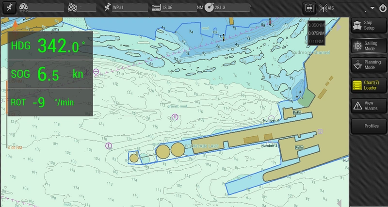 Photo: SevenCs
-
 Photo: SevenCs
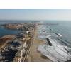

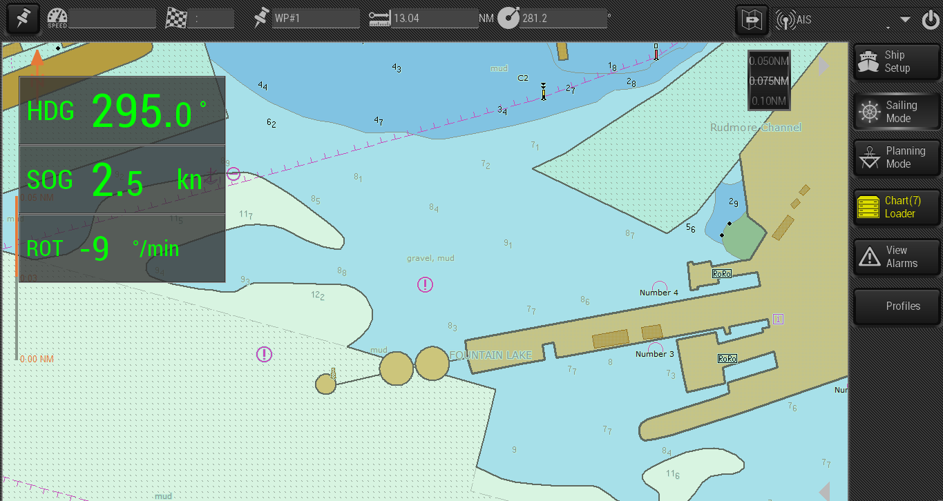
Portsmouth Pilots are now using bathymetric ENCs in combination with official ENCs on their Portable Pilot Units.
For many years Portable Pilot Units (PPUs) with SevenCs pilot information systems have been successfully used by a large number of pilot organizations. As a result of this collaboration, SevenCs has developed a brand new system, called ORCA Pilot G2. It includes the typical functions of a navigation system for touchscreen operation, where own ship and AIS targets are displayed on a background of tailor-made electronic charts – dense bathymetric, port or large scale ENCs.
The customized ENC layers are associated with the following features of the PPU software:
- use of large-scale zoom range
- precise distance information
- use of docking mode
- presentation of detailed depth information
- display of available water depths in potential avoidance areas
- display of depth information, including the actual water level
- Integration of web based water level corrections (pegelonline)
- display of additional information