Proteus Delivers Satellite Derived Bathymetry
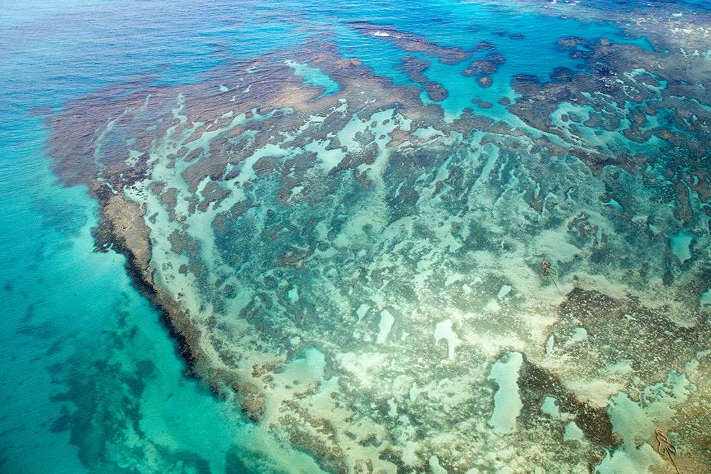
Photo: Proteus
Proteus, a provider of satellite derived mapping and geospatial services, has delivered satellite derived bathymetry to Royal Haskoning DHV during April 2016. Proteus was commissioned by Royal Haskoning to deliver the data as part of a port design project in Saudi Arabia and to identify suitable and cost effective approaches to the port. The 8,000 sq km area of interest was surveyed and delivered within six weeks and depths up to 20 m were successfully reached.
“Partnering with Proteus helped Royal Haskoning DHV to deliver our project on time and on budget,” said Peter Simpson, Coastal Engineer from Royal Haskoning DHV. “Proteus' satellite derived bathymetry data was a quick and cost-effective source of information.”
David Critchley, CEO of Proteus, commented, “The advantage of using satellite derived bathymetry in this region allowed RHDHV to easily identify shallow areas and perform hydrodynamic modeling and carry out a cost effective and fast feasibility study for the approaches to the new port.”
The work was completed in just under six weeks from receipt of order, proving the time and financial benefits of using satellite derived bathymetry for mapping large areas.