Keel Laid for NOAA Charting and Mapping Vessel
Source: NOAA
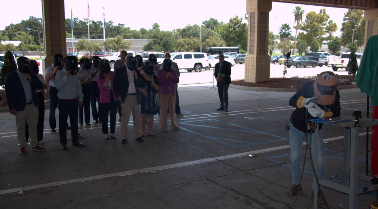
A keel-laying ceremony has been held for Surveyor, a new charting and mapping vessel being constructed for NOAA by Thoma-Sea Marine Constructors, LLC., in Houma, Louisiana.
In 2023, NOAA announced two new charting and mapping vessels would be added to its fleet. Surveyor is expected to be completed in 2027 and Navigator in 2028. The ships will be used primarily for ocean mapping and nautical charting as part of NOAA’s mission to deliver tools and information to help mariners safely navigate the nation’s ports and harbors.
The name Surveyor points to one of NOAA’s key missions — to conduct surveys of coasts and waterways — and it's also the name of two former ships. Like its former namesakes, the new Surveyor will be homeported in Ketchikan, Alaska.
Data collected by NOAA ships are integrated into nautical charts and other products that are essential to mariners in U.S. waters. Since 1807, originally as the U.S. Coast Survey, NOAA has kept people and commerce moving safely through U.S. waters. Today, the agency supports nearly $5.4 trillion in economic activity generated by U.S. ports each year, and ensuring safe, efficient navigation remains a central focus.