FAU to Develop Sea-Level Projection Tool for Gulf of America
Source: FAU
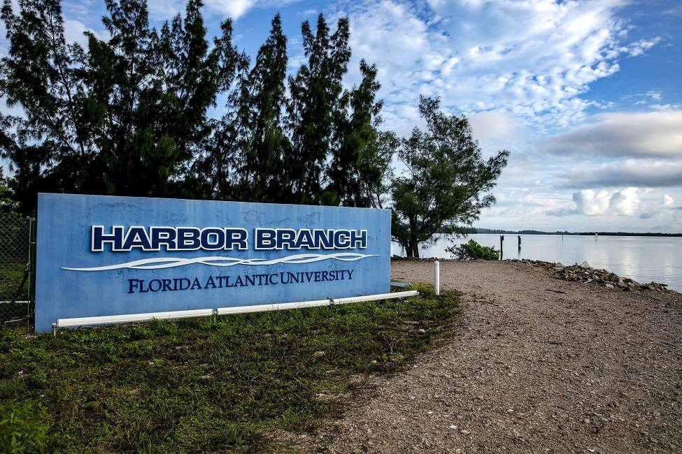
FAU’s Harbor Branch Oceanographic Institute has been awarded a $900,000, four-year grant from the Gulf Research Program of the National Academies of Sciences, Engineering, and Medicine. The project will use high-resolution modeling, machine learning, and community engagement to produce precise, local sea-level projections, deploy water sensors, and develop a user-friendly AI platform. By integrating science and local knowledge, the team aims to equip Gulf Coast communities with the tools they need to plan for flooding and enhance long-term resilience.
The Gulf of America is experiencing accelerated sea-level rise due to a complex interplay of ocean dynamics, steric effects and vertical land motion. These changes pose serious challenges for coastal communities, particularly rural and under-resourced areas that lack the infrastructure and data to plan for flooding and long-term adaptation. Understanding the drivers of regional sea-level variability and developing actionable forecasting tools is critical for supporting decision-making and resilience planning.
Using Community Earth System Model high-resolution simulations under various climate scenarios, combined with nested Semi-implicit Cross-scale Hydroscience Integrated System and Finite-Volume Community Ocean models for localized projections, the project will produce decision-relevant scenario outputs. Vertical land motion data will be incorporated to generate precise, location-specific forecasts, while a graph-based probabilistic machine learning framework will analyze multivariate predictors – such as ocean heat content, atmospheric indices, and dynamic sea-level trends – to forecast extreme sea-level events and regional variability under deep uncertainty.
A key component of the project is community engagement, particularly in rural and unincorporated areas along the Gulf Coast that often lack sufficient resources for adaptation planning. Partnering with Florida Sea Grant, FAU researchers will conduct outreach programs in four communities to increase knowledge of sea-level rise, provide scenario-specific decision-making tools, and deploy water level sensors to enhance local data availability. The team will also co-develop a user-friendly, artificial intelligence-based platform tailored to local needs, offering forecasts and guidance for planning and response.
Co-investigators of the project are Xingquan “Hill” Zhu, Ph.D., a professor in the Department of Electrical Engineering and Computer Science within FAU’s College of Engineering and Computer Science; Robert Burgman, Ph.D., an associate professor in the College of Arts, Sciences and Education at Florida International University; and Anna Braswell, Ph.D., an assistant professor in the School of Forest, Fisheries, and Geomatics Sciences at the University of Florida.