Schmidt Ocean Institute Advances R/V Falkor (too)’s Mapping Capabilities
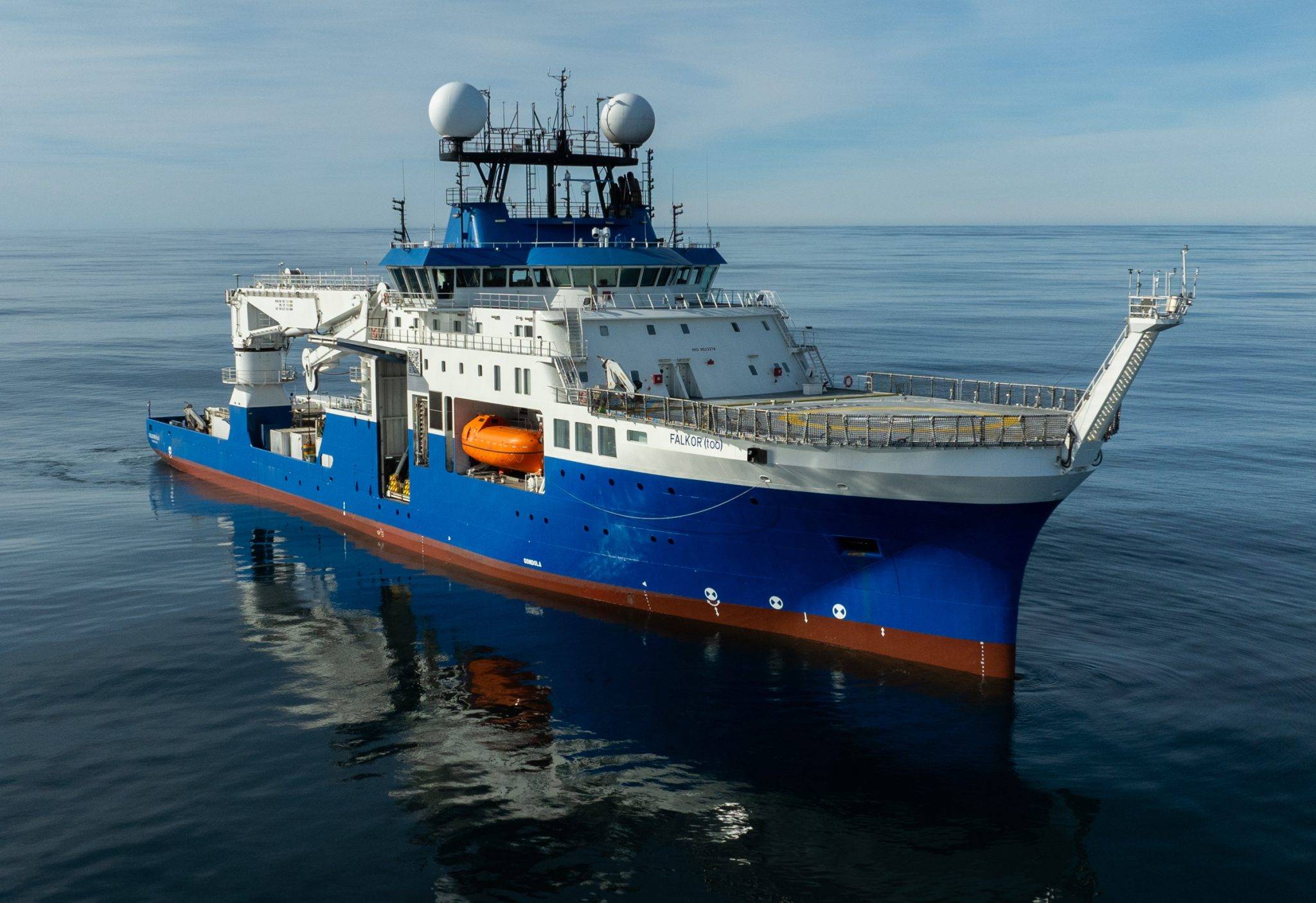
R/V Falkor (too) following a bow reconstruction that significantly improves the precision and reliability of the ship’s sonar systems in capturing high-quality mapping data, even in challenging weather conditions. Photo: Misha Vallejo Prut/Schmidt Ocean Institute
Schmidt Ocean Institute announced it has mapped two million square kilometers of seafloor — about the size of Greenland — and this year, has made two significant changes to advance the seafloor mapping capabilities of R/V Falkor (too): it changed the shape of the ship’s bow and added an Autonomous Underwater Vehicle (AUV) to its technology suite.
Over a two-month dry dock period (April 28–June 28) in Talcahuano, Chile, the team reconstructed the bow of R/V Falkor (too), transforming it from a bulbous bow more common on offshore commercial vessels into a streamlined, V-shaped bow optimized for science missions. The new bow improves the precision and reliability of the ship’s sonar systems in capturing high-quality mapping data, even in challenging weather conditions. It can now capture high-resolution data in 6-11 knots (~7-13 mph) and in swells exceeding three meters.
R/V Falkor (too)’s new bow helps to eliminate bubbles from interfering with the ship’s sonars and sensors, which proved challenging with the previous bulbous bow— an aspect of the original MV Polar Queen vessel design that assisted in faster transits across the ocean. Seafloor maps are created using multibeam sonar technology, which sends sound from the vessel to the seafloor. Scientists, especially hydrographers, use the time it takes for the sound to travel between the ship and the seafloor to calculate the depth, creating a bathymetric map and revealing seafloor features like underwater mountains and canyons.
The Kongsberg Hugin Superior AUV, called The Childlike Empress, can operate to depths of up to 6000 meters and stay in the water for up to 72 hours — offering access to 98% of the ocean floor, with the exception of the deepest trenches. The organization’s ROV SuBastian can operate in waters up to 4500 meters. The AUV, the most adaptable and advanced commercially available vehicle, will be mission-ready by mid-2026 after additional training and field tests.
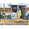
 Engineering Senior Manager Jason Williams preparing to deploy the new AUV, called The Childlike Empress, during sea trials. Photo: Monika Naranjo-Shepherd / Schmidt Ocean Institute
 The Kongsberg Hugin Superior Autonomous Underwater Vehicle (AUV) can operate at a maximum depth of 6000 meters and stay in the water for up to 72 hours — offering access to nearly every area of the ocean floor outside of the deepest trenches. Photo: Monika Naranjo-Shepherd / Schmidt Ocean Institute
The AUV has many sonars and sensors, including a traditional multibeam system, sub-bottom profiler, a magnetometer; oxygen, methane, and dissolved carbon dioxide sensors; a conductivity, temperature, depth (CTD) sensor; imaging system; and Synthetic Aperture Sonar (SAS). Where multibeam systems collect data at resolutions of 1-50 meters (depending on the depth and type of sonar), SAS can collect data every 25 centimeters (2 feet), achieving much higher resolution, producing some of the clearest seafloor images. These maps help pinpoint the exact locations of hydrothermal vents, shipwrecks, and other interesting seafloor features.
The AUV can house additional sensors and imaging equipment and is also adaptable to the scientists’ needs.
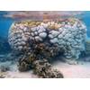
Seafloor mapping is critical for improving our understanding of ocean ecosystems, resource management, safe navigation, and more. Just over 70% of the ocean floor remains unmapped.