SPACEWHALE: Space Tech, AI meet to Monitor Whales from the Heavans
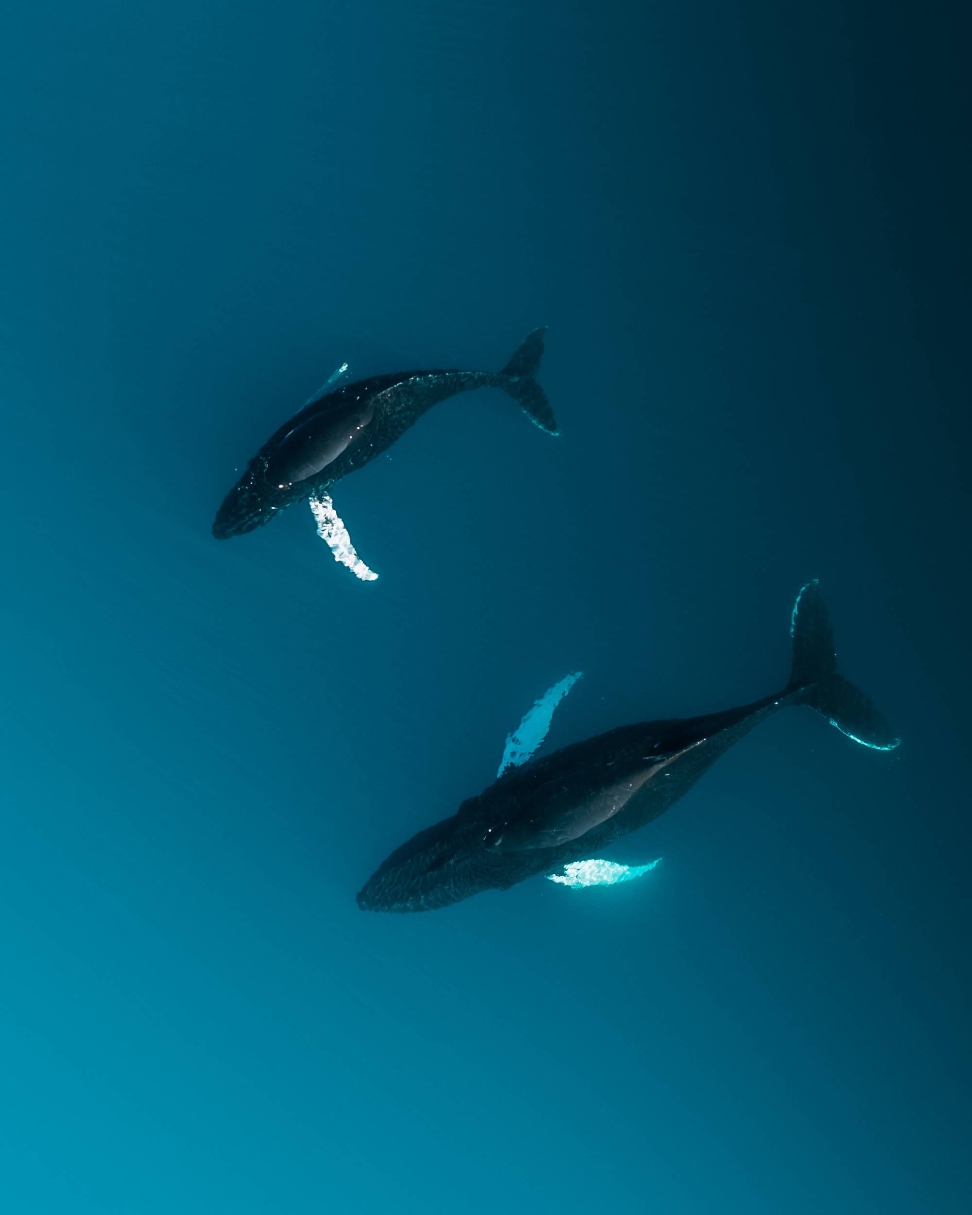
Two Humpback whales (Megaptera novaeangliae) from aerial view in the arctic (photo: Michael Schauer)
Modern space technology and artificial intelligence have combined to enhance the conservation of marine animals: the new service, “SPACEWHALE”, developed by a team of creative scientists in Germany and the UK, detects whales from space.
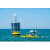
Supported by funding from the European Space Agency (ESA) Space Solutions program, this research enables whales and other large marine megafauna to be surveyed at an unprecedented scale. Earth Observation from satellites is developing fast and within a few years, space technology companies aim to provide daily high-resolution images of the whole globe. SPACEWHALE aims to makes use of this to boost marine research and conservation.
In contrast to previous whale monitoring by ship or aircraft, satellite images cover the global ocean surface. SPACEWHALE does not only detect whales but also other large marine animals. Many questions that previously required individual biological studies can now be answered with just a few clicks. Which areas are especially used by marine mammals? When do whales pass through a certain region during their migration? With the answers to these and other questions, solutions can be found that combine species protection on the one hand and human use of the seas on the other. For example, periods can be determined in which oil and gas or offshore wind farm activities cause the least disturbance to wildlife.
“Earth Observation by satellites is currently developing rapidly. It will only take a few more years for space companies to provide high-resolution images of the entire globe on a daily basis," said project manager Caroline Höschle from BioConsult SH. "That makes SPACEWHALE a forward-looking tool, but it already performs fantastically well with the imagery we have today. Over 70 % of the Earth’s surface is covered by water and thus large areas are still unexplored. The intelligent use of satellite imagery now brings us a lot of previously inaccessible data. SPACEWHALE is part of this revolution," Höschle said. “SPACEWHALE is a fast and efficient means of surveying whales - at a comparable cost to traditional methods for only a small area of the oceans.
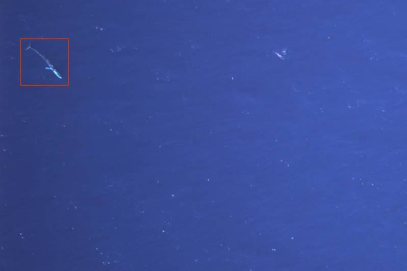 Fin whale detected from the SPACEWHALE algorithm (photo: BioConsult SH)
SPACEWHALE uses satellite imagery with a resolution of 31 cm per pixel across the ground, meaning that a 23 m fin whale has a length of around 77 pixels when it fully surfaces. “This is currently the highest commercially available resolution and though the images appear rather coarse, the resolution is just perfect to detect large whales,” says data scientist Dr. Grant Humphries from HiDef Aerial Surveying Ltd.
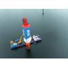
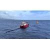
Automatic image recognition is now widely used for many applications in our daily life but to be successful, it needs to be based on a large set of training images. So far, there are hardly any satellite images of large whales that could be used as training images. The staff of BioConsult SH and HiDef Aerial Surveying Ltd. found a solution to this problem: they used digital aerial images of the smallest baleen whales, namely the 7 to 10-metre-long minke whales, which came from monthly whale monitoring flights of offshore wind farms. The researchers were able to show that the algorithm trained in this way could subsequently recognise 23-metre-long fin whales and other whale species on satellite images.
Initial trials of SPACEWHALE proved successful: in the Mediterranean Sea, the algorithm detected almost twice as many fin whales as a previous manual investigation. In the Bay of Biscay, the algorithm detected fin whales and three other whale species. SPACEWHALE successfully counted humpback whales off the Hawaiian and Southern Right Whales off the Argentinian coasts.
“SPACEWHALE makes a significant contribution to marine conservation; artificial intelligence combined with satellite images offers completely new opportunities,” saidHöschle. The application of SPACEWHALE can help identify critical habitats of whales and inform marine spatial planning and impact assessments of offshore developments. Accelerating climate change is also expected to cause profound changes, especially in Arctic waters, with associated declining ice cover and expanding human activities in whale habitat. Historical ranges of whales are changing. "With SPACEWHALE, we want to contribute to the targeted implementation of protection measures for great whales, even in the most remote areas," says Höschle.