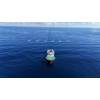
New, New York Harbor Current Meter
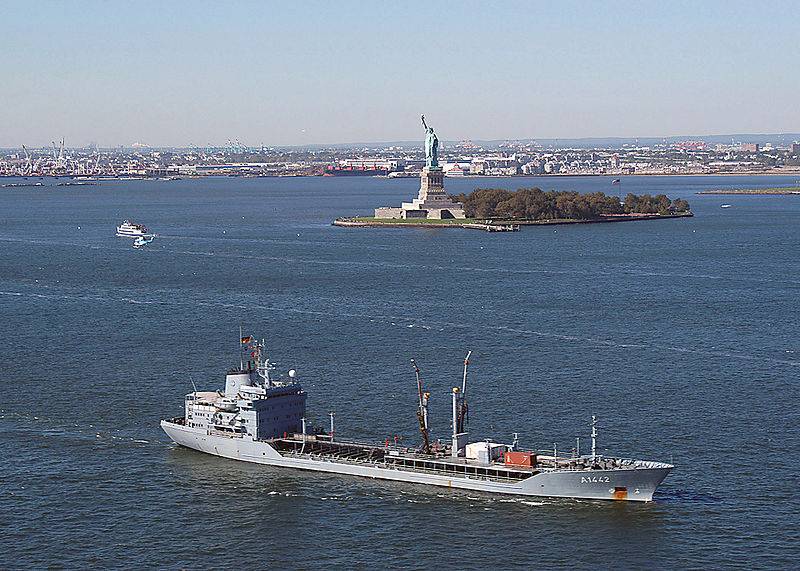
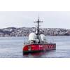
Navigating New York Harbor: Photo courtesy of USN
NOAA uses data from a new current meter in New York harbor operated by New Jersey’s Stevens Institute of Technology.
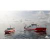
The system provides enhanced real-time information to mariners travelling through the nation’s second busiest port.
The Stevens current meter measures the direction, speed, and volume of ocean currents in the harbor’s navigation channels, north of the Narrows between Brooklyn and Staten Island. Its data will be used in NOAA’s Physical Oceanographic Real-Time System (PORTS®) system, which delivers real-time environmental observations, forecasts and other geospatial information to mariners in 21 major U.S. harbors. The system makes maritime commerce more safe and efficient by giving ship captains instant measurements of the water levels and temperatures, and the direction and speed of the current and wind as they come in and out of port.
Stevens is a partner in the NOAA-led U.S. Integrated Ocean Observing System (IOOS®) , and is the first academic institution that is part of IOOS to have its research data incorporated into the NOAA real-time PORTS program.
"This new sensor will provide crucial current information halfway between the Verrazano Narrows Bridge and Manhattan, the primary navigation route into New York and New Jersey ports. It’s a great addition to PORTS,” said Richard Edwing, director of NOAA’s Center for Operational Oceanographic Products and Services . “This collaboration between Stevens and NOAA gives us access to previously untapped data to help us address marine commerce and other coastal issues. It also lays the groundwork for future federal-regional collaborations.”
By providing real-time tide, current, and other information, NOAA’s PORTS program helps reduce the chances for accidents. Also, enhanced marine information can increase the amount of cargo moved through a port and harbor by enabling mariners to safely use every inch of dredged channel depth.