NOAA Ship Rainier to Map Critical Mineral Deposits in Pacific US Waters
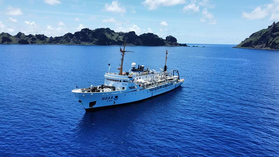
NOAA Ship Rainier mapping in the Pacific in 2022. Credit: NOAA
In early April, NOAA Ship Rainier will begin to map and characterize more than 8,000 square nautical miles of federal waters off Kingman Reef and Palmyra Atoll in the Pacific Ocean. This project is part of the Department of Commerce's implementation of the U.S. Offshore Critical Minerals Mapping Plan, as described in President Trump’s Executive Order 14285: Unleashing America's Offshore Critical Minerals and Resources.
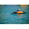
Rainier is a hydrographic survey ship staffed by NOAA Corps Officers and professional mariners. The first survey leg will focus on mapping with multibeam echo sounders in deep water. The second survey leg will use autonomous underwater vehicles from Orpheus Ocean to acquire high-resolution seabed imagery and geological samples, in partnership with the NOAA Ocean Exploration Cooperative Institute.
NOAA will produce publicly accessible maps and images of these federal waters in the Pacific. These products will inform NOAA, other federal agencies and interested parties of the likelihood of finding critical mineral deposits in the surveyed area. This effort will generate high-quality, deep-ocean data to help increase the baseline understanding of the deep-ocean environment, as well as stimulate further potential exploration, research and management projects, including activities related to critical minerals.