S-100 has Value Beyond ECDIS
© ohrim / Adobe Stock
The S-100 framework is a new global standard created by the International Hydrographic Organization (IHO), in collaboration with other hydrographic offices around the world, that enables the integration of diverse datasets within a single Electronic Chart Display and Information System (ECDIS).
Mariners will be able to combine various data layers with Electronic Navigational Charts including detailed depth information and dynamic information on tides and currents.
S-100 builds on the digital foundation of S-57, the standard for electronic navigational charts since 1992. The goal is to enhance situational awareness and decision-making, particularly in coastal waters and ports.
S-100-based product specifications include:
S101 - Electronic Navigational Charts (ENC)
S102 - Bathymetric Surface
S104 - Water Level Information
S111 - Surface Currents
S122 - Marine Protected Areas
S123 - Radio Services
S124 - Navigational Warnings
S128 - Catalogues of Nautical Products
S129 - Under Keel Clearance Management (UKCM)
S131 - Marine Harbour Infrastructure
S201 - Aids to Navigation Information
S411 - Ice Information
S412 - Weather Overlay
S413 - Weather and Waves Conditions
S414 - Weather and Waves Observations
S421 - Route Exchange Format
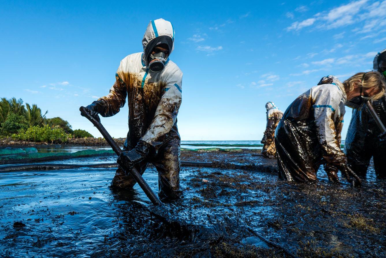
As the S-100 framework continues to evolve, its benefits could extend beyond navigation, supporting greater integration across the wider maritime sector, including for marine pollution control where tide and current information could be critical to mitigation measures.
As Dr Parry Oei, Advisor at the Singapore Maritime and Port Authority, noted during a recent UKHO webinar: “It is not only about port efficiency now. We are talking about the marine environment, protecting the marine environment. We are talking about food security. We are talking about climate change.
“When marine pollution happens, it’s not only the maritime port authorities that are involved. You have got the National Environment Agency; you have got the land authorities. And we were using not only information on land but also drones as well. It’s all three components: land, sea and air that makes us more conscious of the marine environment.”
Thomas Mellor, Head of Technical Partnerships at the UK Hydrographic Office (UKHO), says the data can also be used to mitigate the risks of bunkering operations.
“What we can see is that actually having access to all the S-100 data sets will support vessels when they're doing their safety cases. Because if they have access to the S-102, they have access to the S-104, they have access to the S-111, they will know where the tidal streams are coming from. They'll know which way the vessels doing the bunkering should approach from. They can do some very sophisticated planning so that they don't encounter any issues with things that may cause marine pollution.
“I think that's a really good use case for S-100 data that we hadn't necessarily considered when we were looking at all of the benefits of having access that information.”
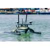
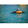
In June, the Canadian Hydrographic Service (CHS) is taking a leading role in validating new digital hydrographic standards by launching S-100 sea trials on the St. Lawrence River.