TDI-Brooks Completes Survey Off New York & New Jersey
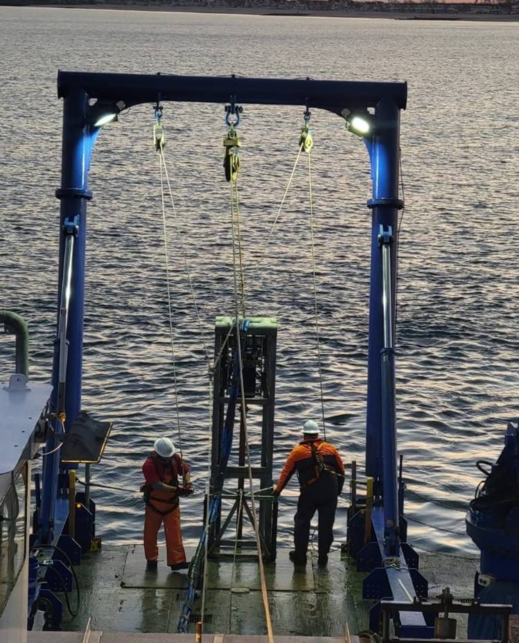
(Photo: TDI-Brooks)
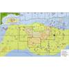
Between January 2023 and February 2024, TDI-Brooks conducted an extensive site investigation program in two offshore wind blocks in state and federal waters. The projects involved surveying in excess of 20,000 line-kms of analogue and either single or multi-channel seismic in lease blocks and cable routes along the coasts of New York and New Jersey. Various tasks were carried out at different stages, such as offshore geophysical surveys, UHRS detailed surveys, archaeological identification surveys, light geotechnical coring, and benthic sampling.
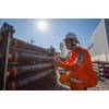
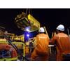
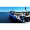
TDI-Brooks utilized three survey vessels, namely the Brooks McCall, Miss Emma McCall and Marcelle Bordelon. The geotechnical survey involved more than 150 pneumatic vibracores (pVCs) and more than 150 Neptune 5K cone penetration tests (CPTs) gathered from both lease areas and along the offshore cable route (OCR). Along with multiple export cable route surveys, a reconnaissance survey covering the entirety of the lease area with 150-meter spaced survey lines was conducted, followed by a more detailed archaeological survey with 30-meter spaced lines. Survey sensors including dual head multibeam sonar, side scan sonar, sub bottom profiler, UHRS seismic, single-channel seismic, and Transverse Gradiometer (TVG) was utilized, all meeting BOEM specifications for archaeological surveys.
The goals, determined by the collected data, were to assess the conditions of the seabed and sub-seabed, which may include potential risks (geohazards or man-made hazards) that could impact the installation of wind turbines and subsea cables in the future. The investigations conducted involved measuring variations in water depth and slope changes, examining the morphology (composition of the seabed and lithology in the formations below in relation to local geology), identifying any natural or man-made obstructions on or below the seabed, such as rock outcrops, channels, depressions, gaseous fluid features, debris (natural or manmade), wrecks, industrial structures, cables, etc., and assessing any shallow geohazards that could affect the sites and future deep geotechnical soil studies within the top 100 meters beneath the seabed.