EOMAP Wins new survey contract by UKHO
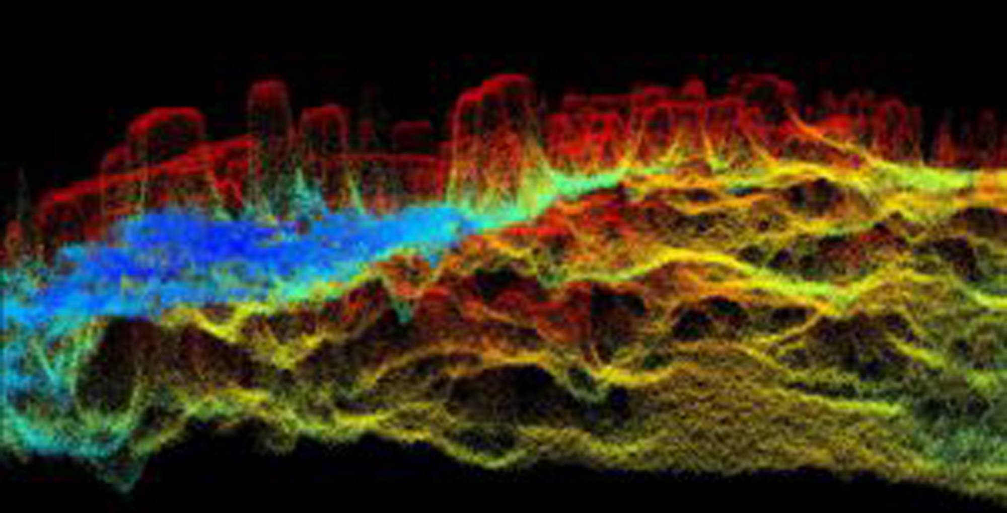
3D visual of HR SDB point cloud, Lighthouse Reef, Belize. Image courtesy EOMAP
The UK Hydrographic Office (UKHO) signed a new three-to-five-year framework contract for Satellite-Derived Bathymetry (SDB) with EOMAP. In the course of a competitive tender the German based experts for Earth Observation have – again– been ranked first-choice provider of SDB.
The first batch covers 9,000 sq km shallow waters of Belize. Starting 2022, EOMAP will deliver high-resolution shallow water grids from SDB technology to UKHO, with the first survey covering the waters of Belize. This survey will be the first complete survey of some of these waters, including where uncharted coral pinnacles are currently noted on the chart.
Satellite reflectance product, corrected for effects of atmosphere and water surface, hillshaded with EOMAP’s very high resolution SDB record, Lighthouse Reef, Belize
In 2015, EOMAP was selected as the first-choice provider by UKHO for the first time. Within this framework contract, their satellite analytics had been included in the ADMIRALTY Navigational Chart 2066 of Southern Antigua, Caribbean. In addition to surveyors and hydrographers, coastal zone managers, planners and engineers all over the world value these shallow water grids for their work.