Nortek ADCP Deployment During Tsunami Provides Key Insights


-
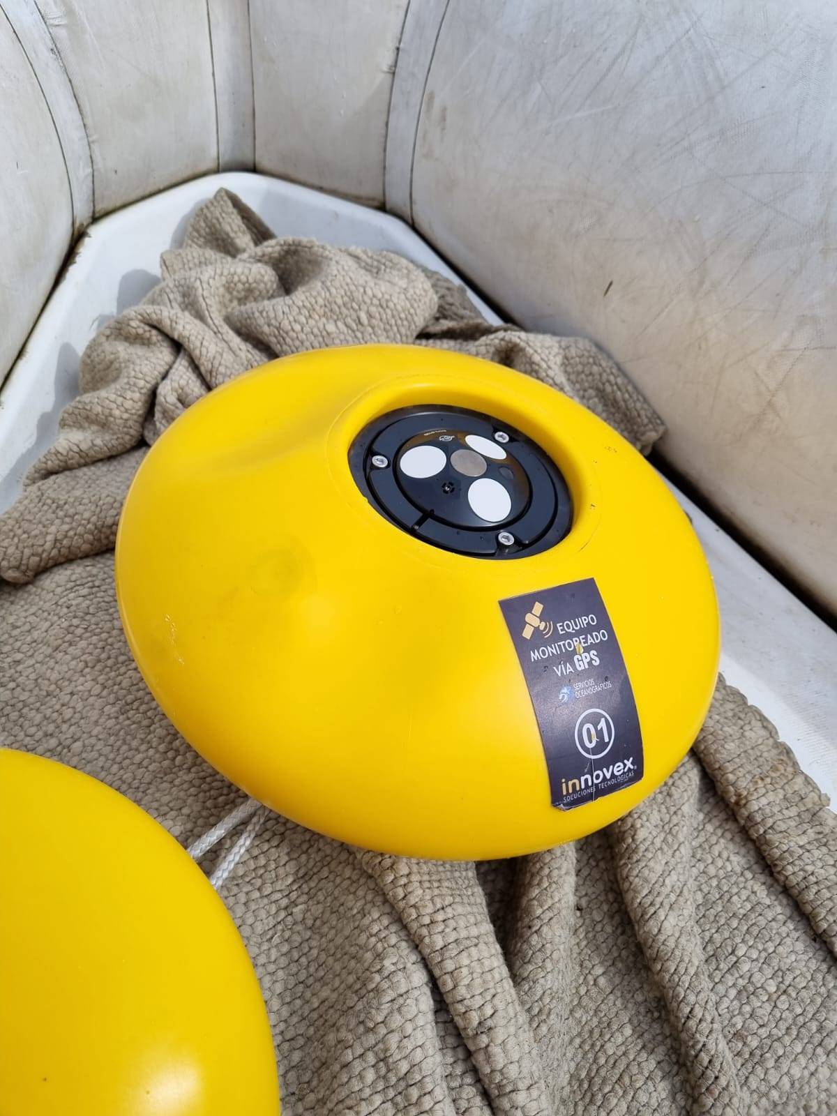
 The Eco ADCP measured current speed and direction in three depth layers. It can be quickly
configured and deployed, making it the ideal solution for this deployment that required quick action. © Nortek
The Eco ADCP measured current speed and direction in three depth layers. It can be quickly
configured and deployed, making it the ideal solution for this deployment that required quick action. © Nortek
-
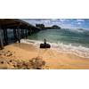
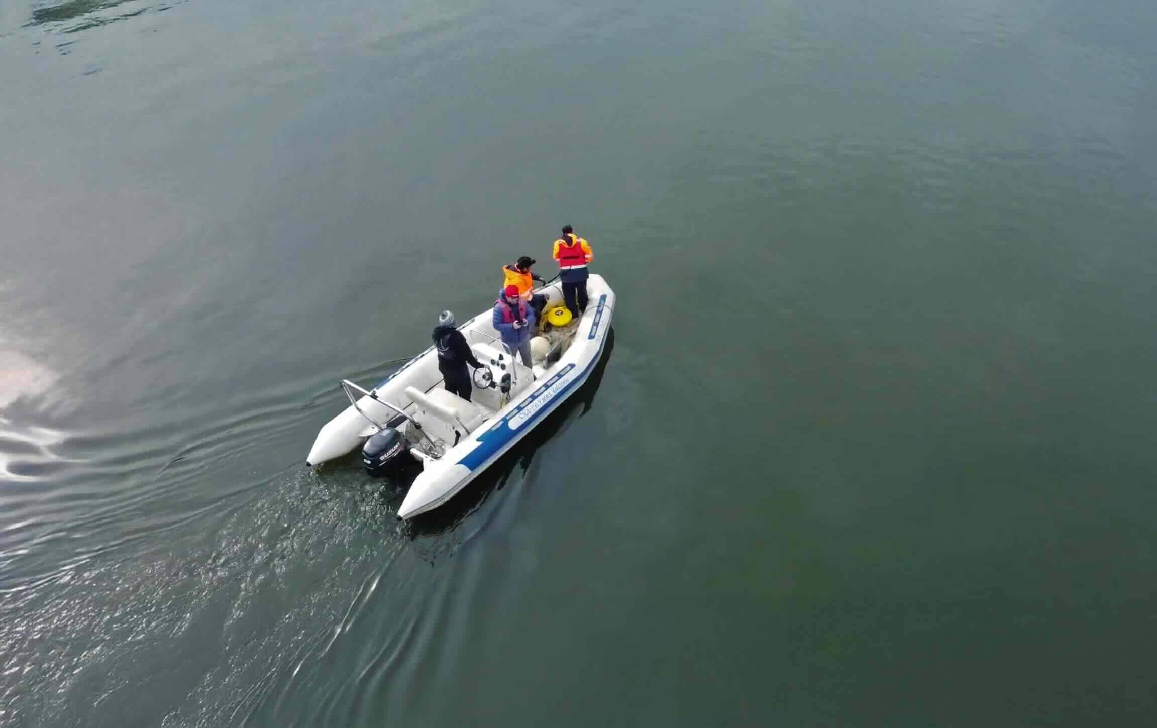
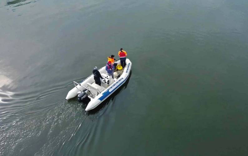 The team retrieving the Eco ADCP after deployment. © Nortek
A recent collaboration between San Diego State University, Chilean aquaculture technology company Innovex, and the Valdivia Yacht Club in Valdivia, Chile took the rare opportunity to study the effects of a tsunami on rivers affected by tides. They used a Nortek Eco ADCP to gather in-situ data after a powerful earthquake across the Pacific, which will inform models and future tsunami forecasts.
On July 29, 2025, a powerful earthquake struck the Kamchatka peninsula in eastern Russia. The event generated widespread concern across the Pacific Basin, prompting tsunami warnings in several countries, including coastal regions of Chile.
Just hours before the earthquake, San Diego State University assistant professor Dr. Ignacio Sepúlveda met with Innovex engineers Jorge Santamarina and Nicolás Donoso in Valdivia to discuss potential collaboration between the organizations. When the news of the earthquake broke, Dr. Sepúlveda called back with a proposition: would it be possible to gather in-situ measurements of currents in the river as the predicted tsunami struck?
Dr. Sepúlveda and Donoso worked quickly to coordinate with the Valdivia Yacht Club, and shortly afterwards the team was on a boat to deploy their measurement equipment. Innovex had a Nortek Eco ADCP on-hand already, which proved quick and simple setup in a time-limited situation.
Deploying an ADCP before a hazardous event like a tsunami involves risks, so the team relied on Dr. Sepúlveda’s previous models of the area to choose an optimal location where they anticipated they could capture the effects of the tsunami without the currents becoming strong enough to sweep away their anchored system.
Around 2pm local time, the team deployed the Eco ADCP at 9m depth in the Valdivia River using the Nortek Eco buoy system with a timed release. They attached 60 kg of ballast to protect from the extreme conditions the system might encounter and set the Eco to provide measurements in two-minute intervals. The quick deployment allowed the team to evacuate the area by 3:30 pm, with around two hours to spare before the anticipated tsunami arrival.
The team retrieved the Eco four days later. The data showed variations in water levels and current velocities, revealing the disturbances caused by the tsunami. The team correlated the data from the Eco with a nearby coastal tide gauge station and concluded the tsunami wave took approximately 20 minutes to propagate upstream to the location of the ADCP. While the maximum impact was a few hours after the tsunami arrival, the data showed that the hydrodynamic response of the river persisted for two to three days.
Using data to calibrate tsunami models and improve hazard assessments
Measuring currents in a river during a tsunami may seem counterintuitive, but understanding the interactions between local waters and the tsunami is important to predicting the tsunami’s impacts on the area.
“For a long time, the tsunami science community has known that coastal responses of tsunamis are highly influenced by local conditions, like tide and rivers,” says Dr. Sepúlveda.“These two coastal processes, present every day, can severely condition the tsunami inundation and damage.”
However, Dr. Sepúlveda explains, these interactions between tsunamis, rivers and tides have rarely been measured in real life. Having in-situ measurements like those gathered by the team not only requires rare environmental conditions, but also the ability to act quickly and deploy in a short time. The team’s fast actions enabled one of the only in-situ measurements of currents in a river during a tsunami event.
“This measurement will be critical to calibrate new models that can simulate the coupled interaction of tsunami, tides and rivers,” says Dr. Sepúlveda. “Ultimately, the measurement and scientific effort will help the tsunami community to improve our tsunami hazard assessments in estuarine areas worldwide.”
Improved collaboration and monitoring
As a result of this collaboration, two permanent monitoring stations have been deployed in the Valdivia River Estuary. Donoso adds that the experience also improved the team’s technical and operational capabilities as well as their collaboration.
“Today, we are better prepared to rapidly deploy instruments and collect high-quality in-situ data during extreme events such as tsunamis and other coastal hazards,” says Donoso.“What began as an urgent, improvised response has evolved into a long-term monitoring and scientific collaboration that improves our readiness, resilience, and contribution to understanding complex coastal systems.”