Shell Ocean Discovery XPrize Field Pared to 9


-
 CFIS
CFIS
-
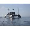
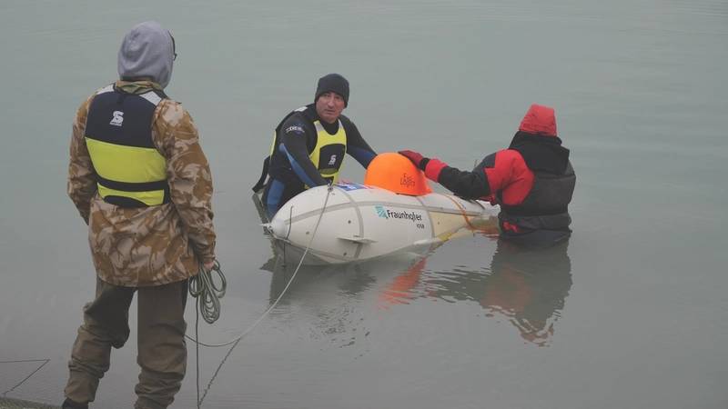
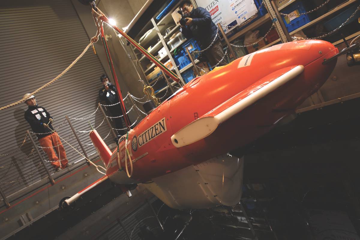
 KUROSHIO
-
 GEBCO-NF Alumni
-
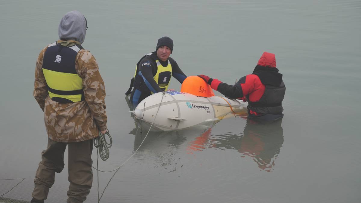
 ARGGONAUTS
-
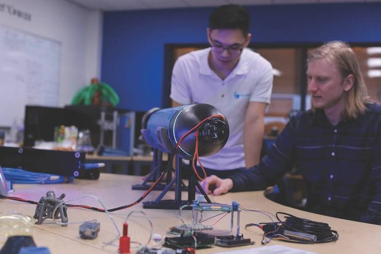
 Blue Devil Ocean Engineering
-
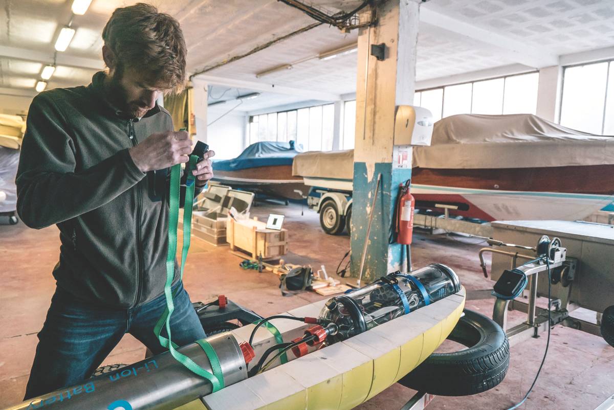
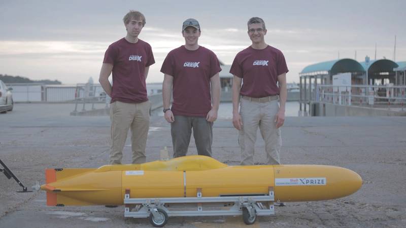 Virginia DEEP-X
-
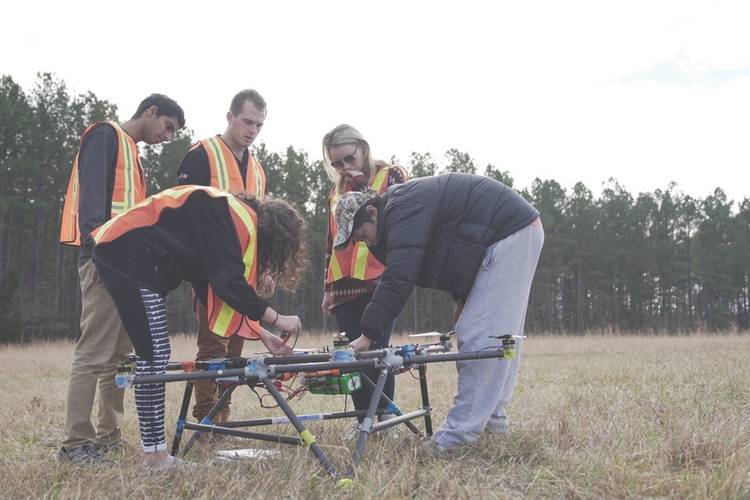
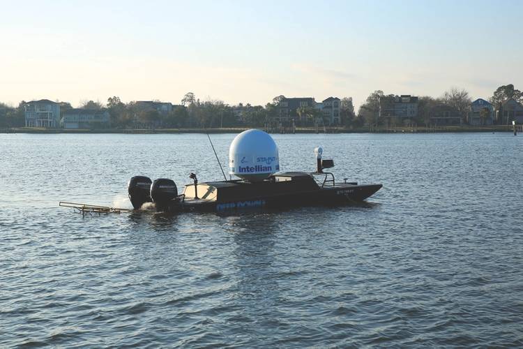 Texas A&M Ocean Engineering
-
 Team Tao
-
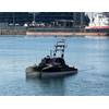
 PISCES


And then there were nine … Field pared in the quest to win $7 million Shell Ocean Discovery XPrize
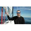
“We have been mapping what lies beneath the seas for hundreds of years, but we have a very long way to go,” said Dr. Jyotika Virmani, Ph.D., prize lead and senior director of Planet and Environment at XPRIZE in a recent interview with Marine Technology Reporter. “We only have 10 to 15 percent of the seafloor mapped to any decent resolution, and the ocean covers 70 percent of the planet.”
And so proceeds the latest Shell Ocean Discovery XPrize, a race to deliver a disruptive solution to a traditional maritime space in a three-year global competition challenging teams to advance ocean technologies for rapid, unmanned and high-resolution ocean exploration.
“We should be able to use these new and emerging technologies to tackle the problem of mapping our own planet,” said Dr. Virmani. “There is a need for disruption, and we are in the midst of a technology revolution. We really need to pull these (new technologies) into the maritime realm to better understand and better work in the ocean, the last big frontier of our planet. It is in fact it like discovering a new planet with alien creatures.”
A Rough Start
The fact that the field has been winnowed to nine teams from seven countries is a feat in and of itself, as the very force of nature that is under study conspired to thwart the first round of testing.
“For this round of testing we had to take a different approach than originally planned because of the hurricanes (Irma and Maria) that hit Puerto Rico,” said Dr. Virmani. The original plan was to have the teams arrive in Puerto Rico in early October 2017 to put their tech to the test in mapping an area “where a great map already exists,” said Dr. Virmani. But the historic Hurricane Irma struck Puerto Rico in late September 2017, severely damaging the island, its infrastructure and population. “Once the hurricanes hit Puerto Rico we had to change plan.”
“We devised eleven criteria to test the technology readiness level,” said Dr. Virmani. The nine teams left standing were those that passed the technology readiness criteria test.
Big Prize, Big Picture
“We are looking to pull in exponential technology shifts into the marine realm,” said Dr. Virmani. “There are huge shifts in technology that we’re seeing in other areas that we want to bring into the marine realm,” such as the use of 3D printing to effectively cut costs, and the use of drone technology to make operations more cost effective.
“I am very excited at what is coming out of this so far, and I think you will see some technologies emerge that truly revolutionize the way in which we access the deep sea and map the deep sea.”
While Dr. Virmani is remiss for obvious reasons to tout one tech over the other, she said that teams are trying different approaches to mapping the deep sea; for example one system uses a mapping device that moves vertically in the water column, and then takes a circular map reading (and these circular readings are simply overlapped and melded together.) “The advantage of this approach is you can add other instrumentation so that you can collect additional water column data. It’s a completely unique approach to mapping, as well as the new technology … and it is very exciting.”
… and then there were 9 …
The nine finalist teams were formally recognized and awarded at Oceanology International in London.
“As we dive into Round 2, we are looking forward to testing the finalists’ technologies in a rigorous real-world world situation that will demonstrate their ability to rapidly map the ocean floor at 4,000 meter depths,” said Dr. Virmani.
The final nine teams include:
ARGGONAUTS (Germany)
Led by Gunnar Brink, the team is creating two swarms: one swarm in the deep-sea and one on the ocean surface. Five or more intelligent deep-sea robot drones will be accompanied and supported by the same number of autonomous catamarans for geo-referencing, retrieval and transport.
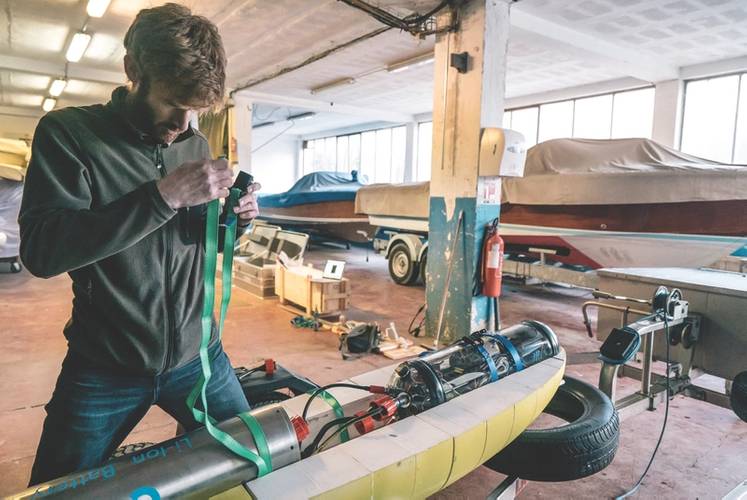
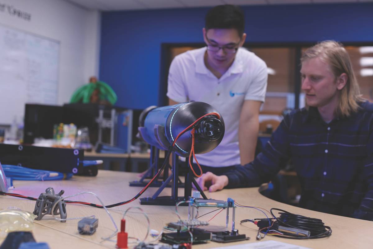
Blue Devil Ocean Engineering (USA)
Led by Martin Brooke, the Duke University team is working with heavy lift aerial drones that drop retrievable diving SONAR pods.
CFIS (Switzerland)
Led by Toby Jackson, the team is building a fleet of AUVs to map and image the ocean floor using lasers.
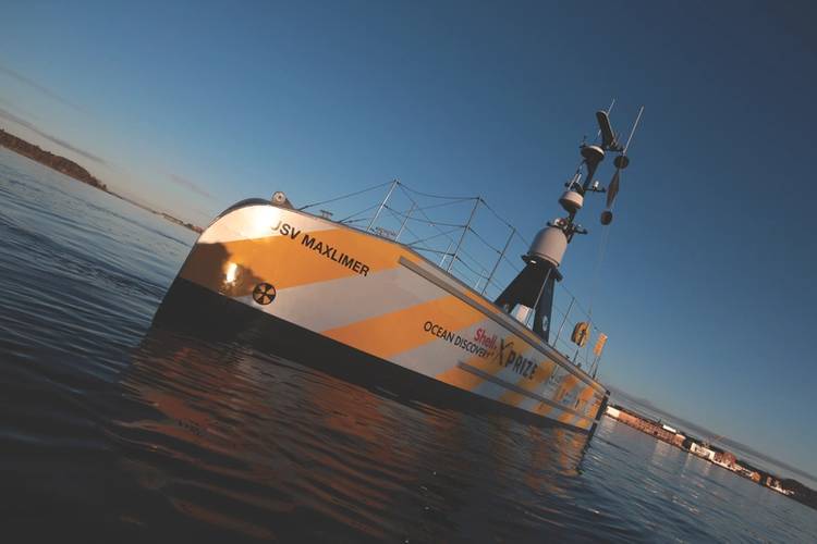
GEBCO-NF Alumni (USA)
Led by GEBCO-Nippon Foundation alumni, the 12-nation team is integrating existing technologies and ocean-mapping experience with an innovative unmanned surface vessel to contribute towards comprehensive mapping of the ocean floor by 2030.
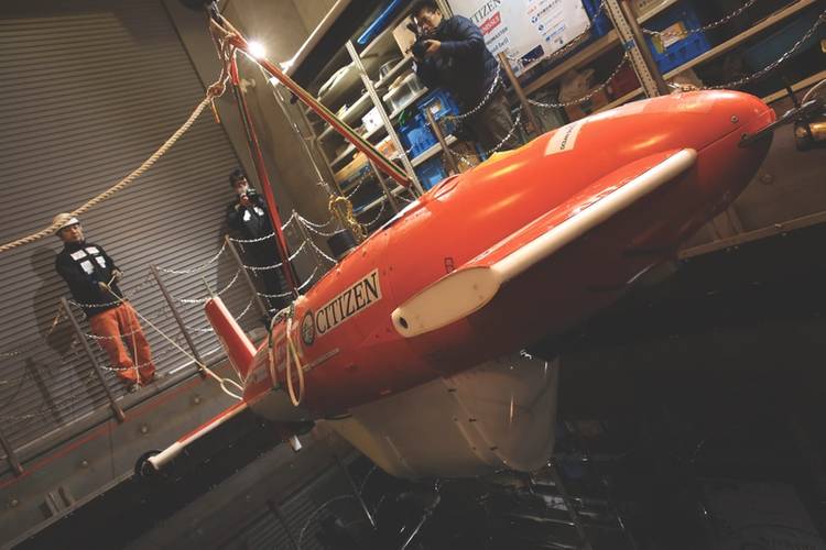
KUROSHIO (Japan)
Led by Takeshi Nakatani, the team is integrating technologies owned by Japanese universities, institutes and companies for a unique collaborative approach centered around AUVs.
PISCES (Portugal)
Led by Nuno Cruz, the team is aggregating Portuguese technologies developed at INESC TEC (Porto) and CINTAL (Algarve) to create the PISCES system that leverages cooperative robotics.
Team Tao (UK)
Led by Dale Wakeham, the team is developing an autonomous swarm system for rapid surface to deep ocean exploration.
Texas A&M Ocean Engineering (USA)
Led by students and working in partnership with Industry and successful alumni of Texas A&M; the University team is using drone ships and AUVs to explore remote ocean habitats.
Virginia DEEP-X (USA)
Led by Dan Stilwell, the team is developing small and low-cost underwater vehicles that operate in coordinated teams.
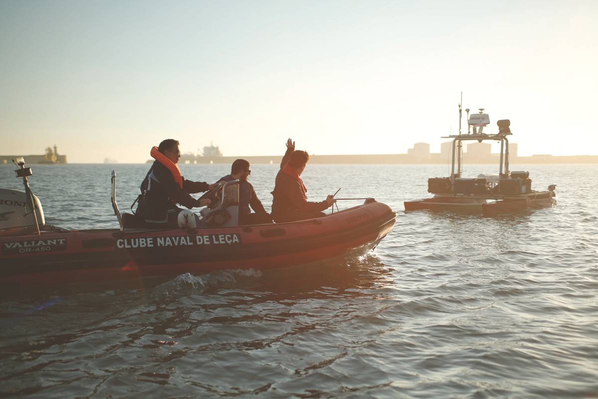
The final Round 2 testing will take place during October and November of 2018. Finalists will have an opportunity to demonstrate their technologies in a real-world deep-sea environment, where they will have to map the sea floor at 4,000m depth and bring back 10 images from the ocean. Fugro, an industry leader in ocean mapping and another partner to the Ocean Discovery XPRIZE, will assist XPRIZE in acquiring the competition’s high-resolution baseline bathymetry data that are needed in judging team mapping results.
(As published in the April 2018 edition of Marine Technology Reporter)