NOAA Taps Woolpert for Chesapeake Bay Watershed Study
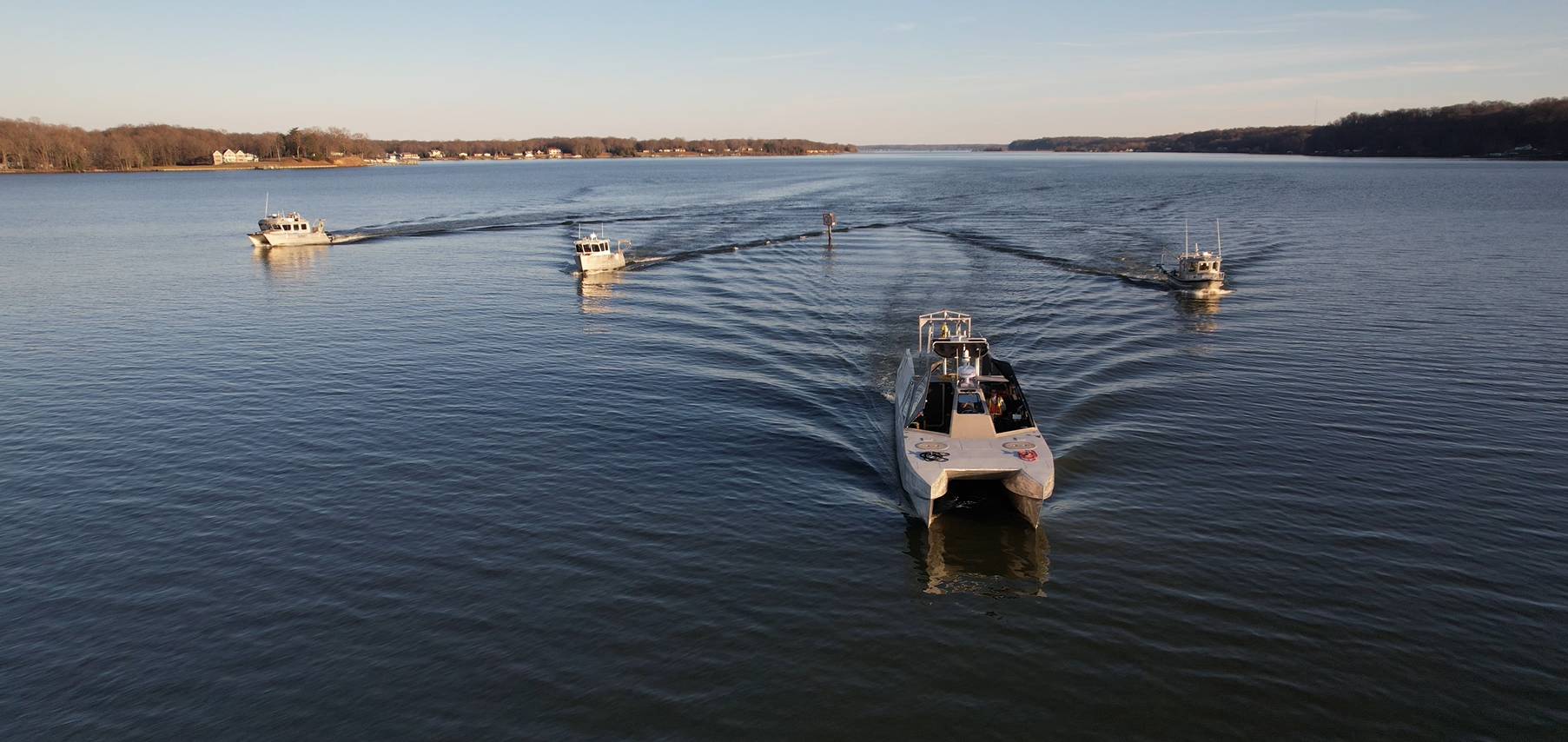
Woolpert will employ five of its survey vessels and display data collected in real time to support inundation modeling, floodplain analysis, and coastal resilience. (Photo: Woolpert)
Woolpert announced it has been selected by the National Oceanic and Atmospheric Association (NOAA) to perform hydrographic surveying and collect bathymetric data for hydrodynamic modeling in the Chesapeake Bay Watershed. The $5.5 million award with a $1.4 million option, funded in part by the bipartisan Infrastructure Investment and Jobs Act, is being administered through NOAA’s Office of Coast Survey hydrographic services contract.
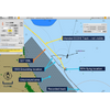
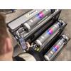
This project will focus on 615 square nautical miles and include portions of the Potomac, Rappahannock, James, and York rivers, which in some areas have not been surveyed for more than 50 years. Woolpert will mobilize five hydrographic survey vessels, or nearly a quarter of its fleet, equipped with multibeam and side-scan sonar systems out of the firm’s East Coast hydrographic hub in Charleston, S.C. Vessel locations will be displayed in real time via a customized GIS dashboard to enhance situational awareness and provide real-time progress and information throughout the project.
These data will serve several missions in years to come, including navigation, inundation modeling, floodplain analysis, and coastal resilience. Hydrodynamic modeling will help forecasters and decision-makers:
- Update NOAA’s Office of Coast Survey nautical charts and services to support safe navigation.
- Determine the timing of rapid river stage increases and decreases, as well as the duration of high water, inundation, and drought.
- Predict the movement of oil and hazardous materials along the heavily industrialized James River.
- Determine site suitability for oyster restoration reefs in the Hampton River.
- Support flow models that gauge temperature and salinity distributions in the Rappahannock River, which is home to a thriving oyster industry.
- Provide data to support the hydrodynamics of the Potomac River’s reservoir and dam infrastructure.
- Inform best preservation practices for NOAA’s National Marine Sanctuary at Mallows Bay in the Potomac, so the sanctuary can better operate, conserve, and promote its maritime historic and cultural resources.
Woolpert Program Director and Certified Hydrographer Dave Neff credited NOAA for this highly efficient and effective use of federal funding to address critical and overdue infrastructure needs.
“This is an outstanding use of taxpayer dollars because it is all about improving public safety, advancing the blue economy, and preserving the environment for decades to come,” Neff said. “Having highly accurate, up-to-date data enables us to predict and respond to our changing world so we can make informed decisions and build toward a better tomorrow.”