At Yacht Signs, we excel in creating stunning illuminated yacht names and logos, durable stainless steel yacht lettering, and cutting-edge LED and fiber optic solutions. Our comprehensive services also include in-house design and manufacturing of exquisite backlit…

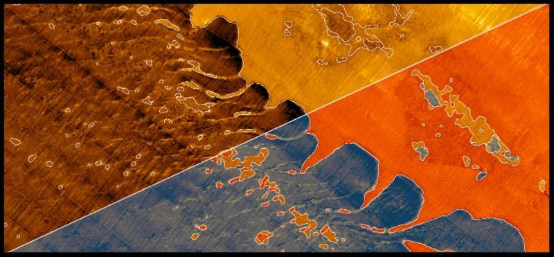
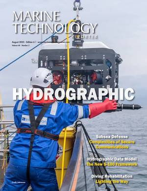
Kraken Robotics Inc. is transforming subsea intelligence through 3D imaging sensors, power solutions, and robotic systems. Our products and services enable clients to overcome the challenges in our oceans – safely, efficiently, and sustainably. Kraken’s synthetic aperture sonar…

MetOcean Telematics, headquartered in Dartmouth, NS, Canada, provides complete end-to-end telematics services, with a focus on niche MetOcean solutions and custom Defence and Security products. A manufacturer of Iridium satellite solutions, drifters, buoys, beacons…

Advanced Navigation is a global company headquartered in Sydney, Australia. We are one of the most innovative providers of inertial navigation systems, acoustic navigation solutions, and robotics technology. Trusted by many of the world’s leading technology companies…

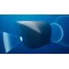
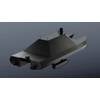
VideoRay is the largest volume producer of Underwater ROVs (Remotely Operated Vehicles) in the world. Established in 1999, VideoRay has worked with technology and mission partners throughout the world to develop and prove the small ROV tool for a wide range of applications.

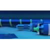
SubCtech’s (”Subsea Technologies for the Marine Environment”) team already has more than 30 years of experience in the subsea and marine technology. Today, with 70+ employees, the company is still privately owned. We offer underwater technologies, subsea solutions and ocean monitoring systems.